


I had set the hotel room alarm clock for 6:15 AM. At 6:00, the dumb thing started beeping. Bleary eyed and angry that I had been cheated out of 15 precious minutes of sleep, I staggered over to the table where the clock was sitting. I picked up the clock and tried pressing buttons to make the beeping stop, but nothing would work. Finally the beeping stopped, but not from me doing anything; it just quit. By this time I was awake, so I went ahead and started to get ready. At 6:15, the alarm clock started beeping and scared the tar out of me. What the heck? It was a completely different alarm than the first one, too. Strange.
The next morning I would also be awoken by an alarm at precisely the same time, and I would discover that the spare alarm clock I brought (not all hotel rooms have them, so I carry a spare) has a battery backup, and in packing my bag I must have turned the alarm on. When I was fiddling with the clock in the room, it wasn't even the one that was beeping. However I had been too groggy to catch this tidbit of information.
Back on day 4, my lips looked like two polish sausages that had sat in the roaster too long down at the pump 'n' munch. They were swollen and huge. I could hardly recognize myself in the mirror! I had never previously experienced sunburn pain like this.
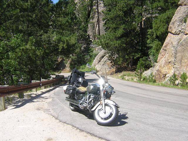
The weather wasn't as cool as I'd expected. Usually mornings in the Black Hills can be a little on the nippy side, especially when you're running down the highway at 65 mph. Still, I put on my jacket and chaps because I'd rather be a little warm than cold.
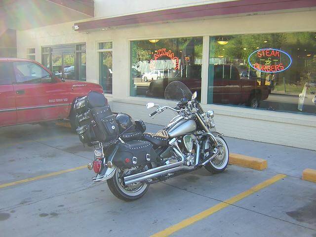
I wasn't planning to hit the road until 8 AM, but I wanted to ride down to the Tin Lizzie casino to partake in their $2.99 breakfast buffet. I ate the best I could given my lip situation. I was having a hard time drinking water without pouring it down the front of myself, as my lips were so swollen I couldn't wrap them around the edge of the glass.
After breakfast, I started down highway 385 from Deadwood to Keystone, SD. I had ridden this highway many times and always thought of it as scenic and curvy, but after the previous three days it was a little anti-climactic. It was pretty, just not quite as dramatic. Kind of like "Rocky mountains lite".
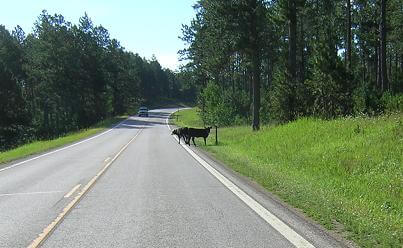
As I rode along, I saw some animals in the road. I quickly slowed down and grabbed my camera, as it's not uncommon on this road to see a ram. As it turned out, some cows had gotten out of the pasture and were standing in the road. As long as I was stopped, I went ahead and took their picture.
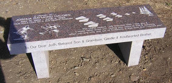
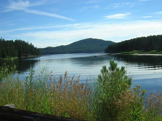
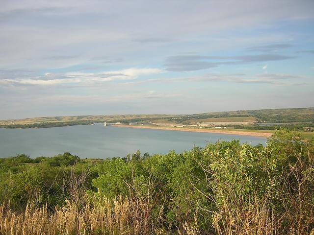
I came up to lake Pactola which, although it is a man made lake, I've always found very pretty. There is a bench at the lookout area as a memorial to someone who passed away. I decided that in lieu of a headstone, this is what I want when I die: sprinkle my ashes somewhere with a beautiful view, then create a memorial bench for people to sit on and look out at the beauty.
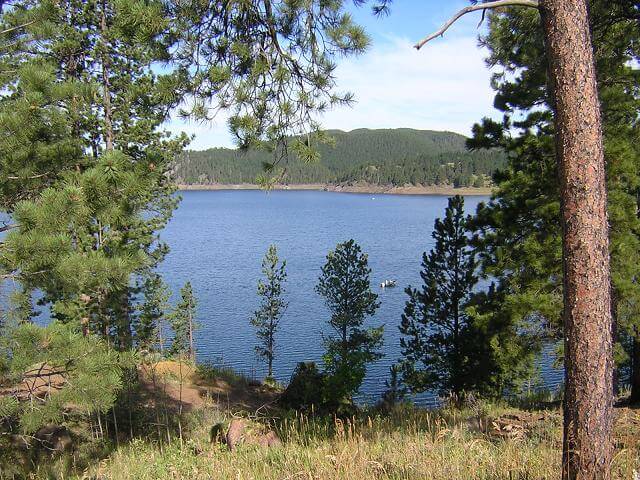
Here's the view you see when you sit on this bench.
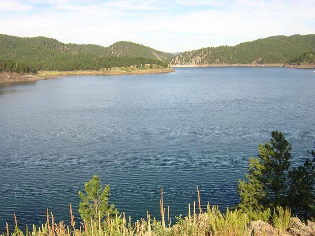
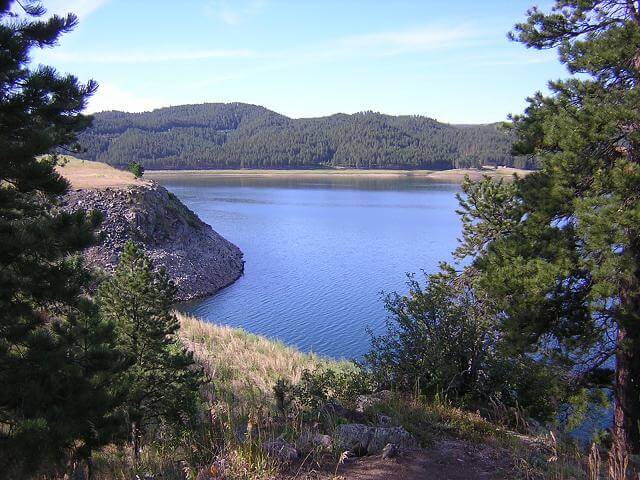
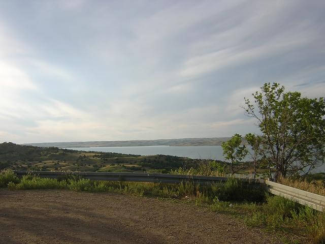
Some other views of lake Pactola:
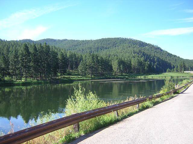
Further down the road on highway 385, we come across Lake Sheridan, which is another pretty lake.
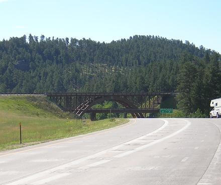
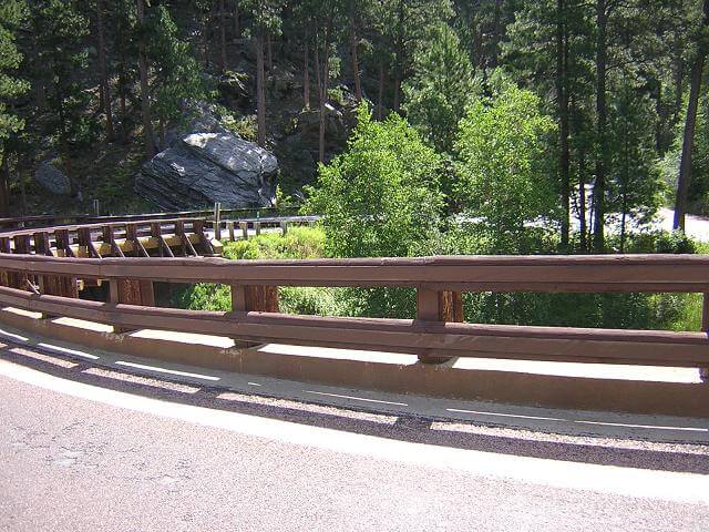
Outside of keystone there is a neat three-layer bridge that connects highway 16 and 16a.
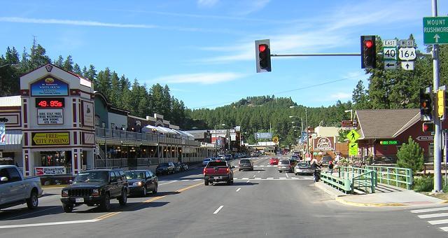
If you've never been to Keystone, it's just a huge tourist trap. Still, it's fun to walk around and see the different shops and talk with people from all over the country. I stopped for about an hour, browsing through shops and taking it all in. By the time I was to leave, the thermometer had risen considerably. I decided I had to ditch my chaps.
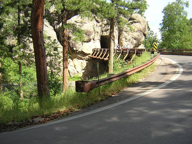
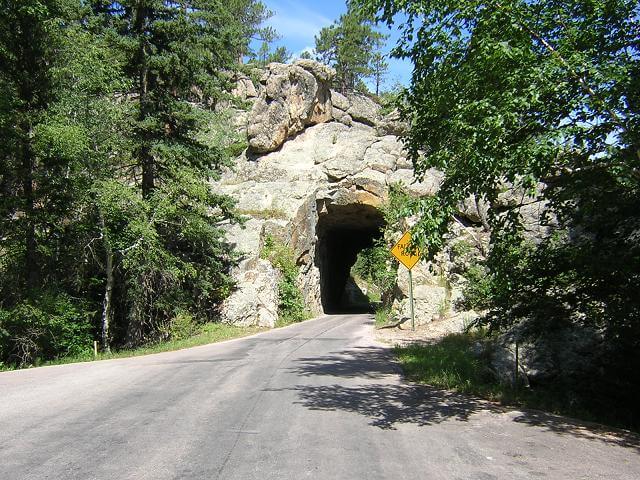
From Keystone, I took highway 16a up the Iron Mountain road that leads to the back entrance to Custer. This is a very twisty road with lots of 2nd gear corners. The pigtail bridges are pretty cool, and there are several tunnels.
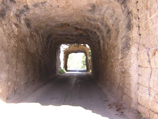
One of the tunnels frames Mount Rushmore in the distance. It's a popular photography spot, and I had to stop while a family posed for a picture while standing in front of the tunnel.
When it was my turn to go through, I tried to take a picture as well. The tunnel turned out, but Rushmore is washed out in the background.
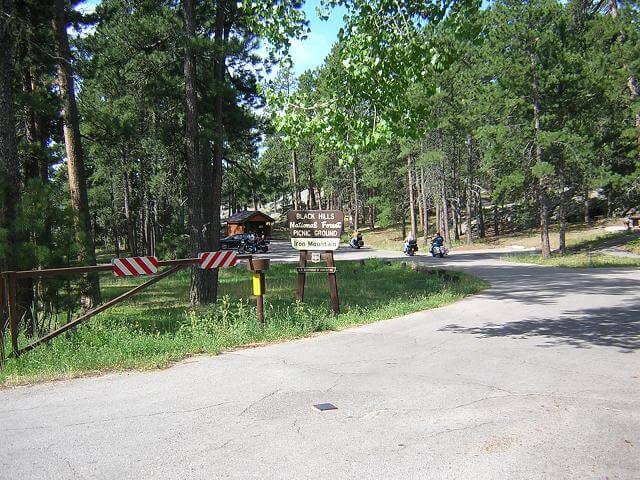
There were tons of bikers on this road, which is understandable because it's great riding.
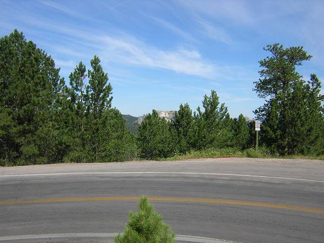
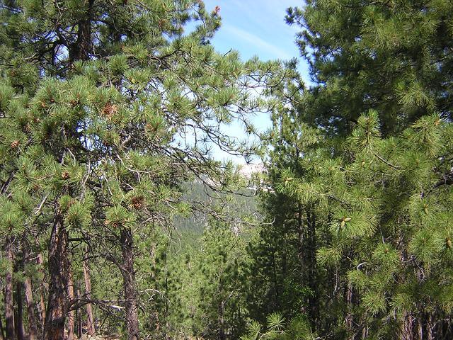
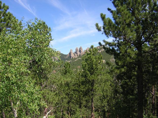
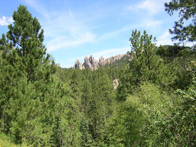
Some of the views, while not as spectacular as those I'd seen the previous three days, were still quite nice.
You can see Rushmore from several points along this road. I tried to get some pictures, but none of them really turned out very well.
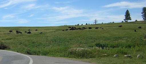
I reached the entrance to Custer state park. This park is known for it's abundance of wildlife. Not far into the park I came across a herd of buffalo.

A little ways down the road a pronghorn came out of the woods and walked right next to me. By the time I got my camera out, it was walking away.

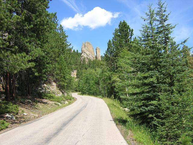
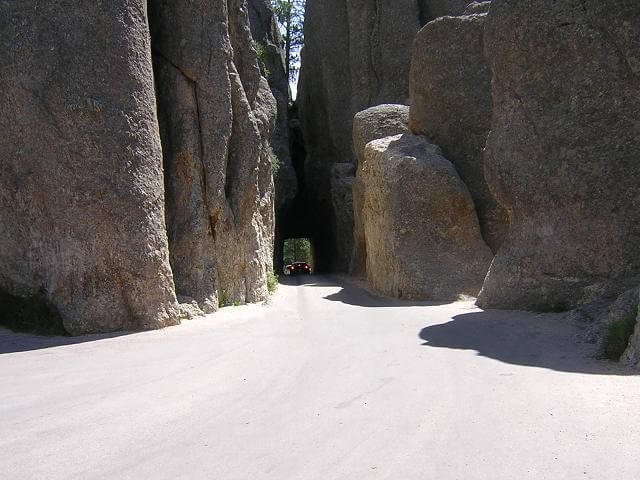
I rode through the northern part of Custer state park to the Needles highway. This is a very scenic highway that is great for riding motorcycles. The turns are very sharp and the road is narrow and rough, so it's not a fast ride. Still, the views are some of the best in the Black Hills. Here's one of the tunnels.
Along the road, Harney Peak is visible. This is the highest point in South Dakota.
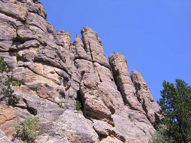
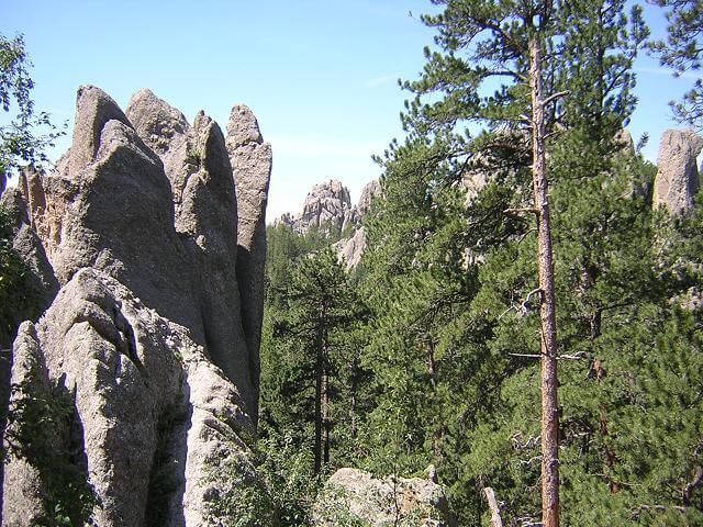
The rock formations are very unusual along the Needle highway.
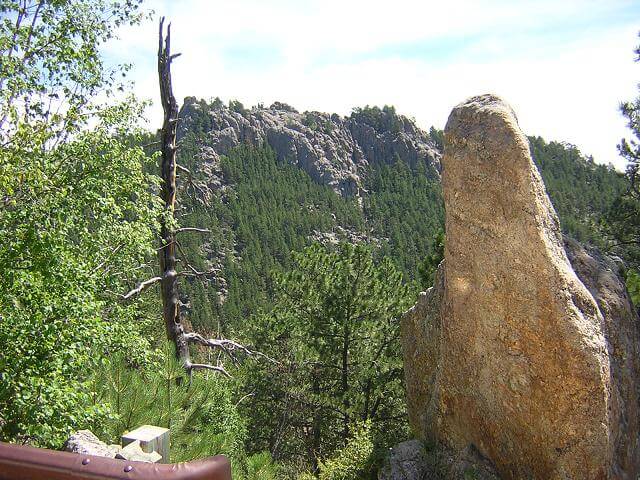
Along this highway I had a brand new experience, which I hope to never have again: I nearly ran over my own foot. There was a hairpin right turn going up a steep incline. I was only going 10 mph, and it was still sharp enough to cause the right floorboard to scrape. When I was about halfway around, the grade of the road abruptly shifted which caused the bike to lean over even further. The pavement grabbed the edge of my boot that was hanging over the edge of the floor board, and pulled my leg back and under the bike. I envisioned myself running myself over, but thankfully I got my leg back out. This, however threw me of balance and I fought to keep the bike upright. Once I got everything back under control, I had to stop and catch my breath. I took this picture as I was checking my shorts. Unfortunately, there was a whole group of tourists who got a front row seat to my ineptness.
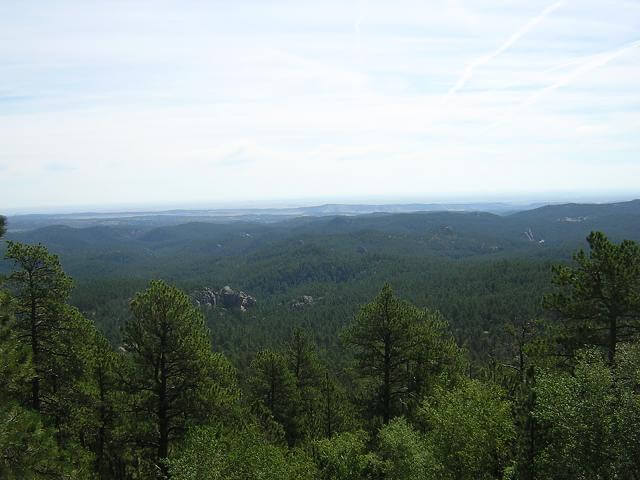
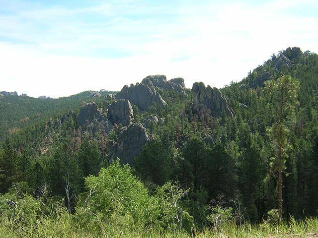
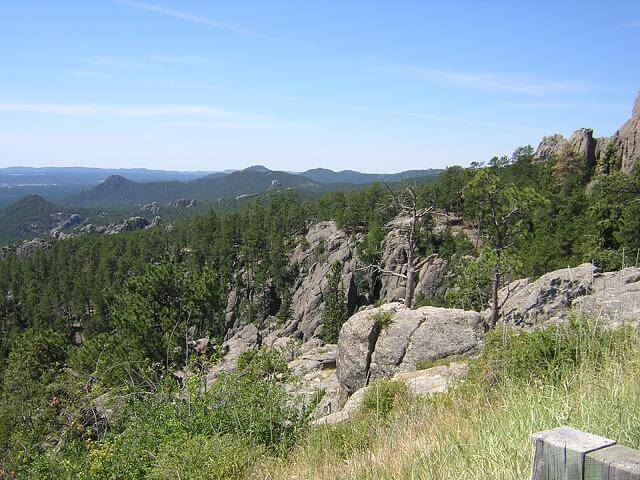
Back on the road, I paid close attention to those turns, no matter how slow I was going! Here's a picture I took that overlooks much of Custer state park.
At the Needles Eye, which is for which the Needles highway is named, there is a long narrow tunnel. It seems small even on a bike. The picture really doesn't portray how tiny this tunnel is. Every once in a while you see a tour bus try to get through this thing. They make it, but usually lose their mirrors in the process.
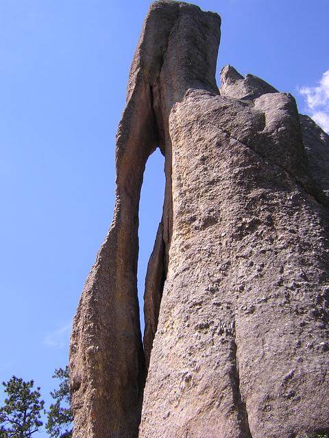
Here is a picture of the famed Needle's Eye.
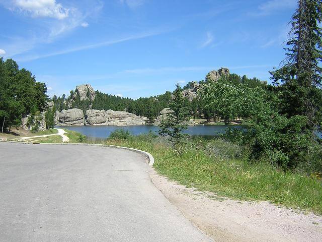
A little ways down the road we arrive at Sylvan Lake. Much of the lake is to the left behind the trees where it can't be seen until you're out in the water.
After I'd passed Sylvan Lake, I made my first wrong turn of the trip. Or I thought I did. The road forked, and I took the path on the right. A few miles down the road I started to second guess myself, so I turned around and went back to take the other fork. A few miles down that fork, I third-guessed myself so I pulled over and looked at a map. Sure enough, I had made the correct turn the first time. So, I had to go back again.
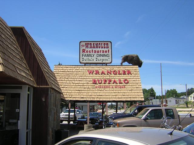
Once off of the Needles Highway, I was back on 385 which I rode south to the town of Custer. It was now about noon and I was getting hungry, so I stopped at the Wrangler restaurant for a buffalo burger. The service was very slow, but the burger was good and they gave me enough fries to feed three people. I wanted to keep my stop time to a minimum, but wound up sitting for an hour. 55 minutes to wait for my food, and 5 minutes to cram it down my throat.
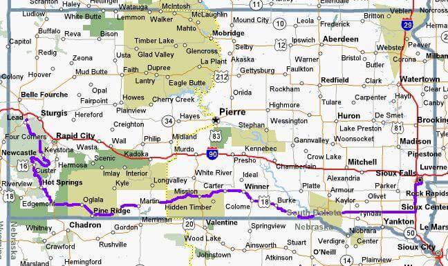
Now that I had seen the sights of the Black Hills, I was to begin my journey home. I wanted to take the southern route across the state as it goes right by my Grandmother's old farm that I hadn't seen for five years.
I headed south on 385 down to Hot Springs, SD. I stopped for gas and filled up on water and a quart of Gatorade. The temperature on a bank sign said 100 degrees, and there wasn't a cloud in sight. The heat was intense, especially on an air-cooled bike.
South of Hot Springs, I headed east on highway 18. This road crosses both the Pine Ridge and the Rosebud Indian reservations, which unfortunately have some of the worst poverty in the nation. I've been in the inner-city areas of Minneapolis, Milwaukee and Chicago, and people in those areas have it much better than those who live on the reservations. I resisted the urge to take any photos of the area, because if I lived there I wouldn't want someone plastering the picture of my house all over the internet as a demonstration of poverty.
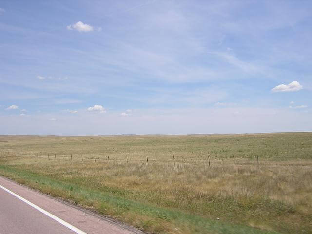
As I crossed this 300 mile stretch of South Dakota, there was little to see outside of the towns. Here's a picture I took while cruising down the highway at 70 mph. I was fighting sleep again in these parts, and my body was really starting to ache. At least my body aches took my mind off my lip pain.
This is something else I saw quite a bit of in this area:
I stopped in Martin, SD for gas and a refill on fluids. I had a good chat with the guy working the cash register at the gas station. When I went back out to my bike, I decided to apply some more sun block as the sun was really beating down on me.
While doing this, a white car pulled up and two younger Native American men got out and started walking towards me. They looked like gang-bangers, and I was trying to analyze the situation and determine emergency plans should I need to make a quick getaway. Suddenly, one of them put their arm on the shoulder of the other and pointed. A reservation cop had just pulled into the station. They both paused and slowly started back to their car.
I decided I didn't want to stick around and find out how this whole situation was going to pan out, especially if the cop suddenly got a call and left. I quickly threw my gear on, hopped on my bike and took off. Unfortunately, in sliding my goggles into place I accidentally pushed a glob of sunscreen into my eye. The pain was searing, but I wasn't going to stop and correct this until I was out of view.
I drove with one eye shut, blinded with pain about a mile out of town, until I couldn't take it any longer. I stopped and got off the bike to clean out my eye. As I was doing so, a car went by on the highway then suddenly slowed down. Sure enough, when I looked it was the white car with the same two guys. I was cleaned up good enough, so I hopped back on the bike and hit the road. As soon as I started moving again, they took off and turned down a side road.
I have no idea what that whole thing was about. I think I'm glad I didn't find out.
175 miles further down highway 18 was Fairfax, SD. This is a tiny little town just north of the Nebraska border. My grandmother's farm is about three miles from town, down a gravel road. The ride down the loose packed gravel was a little iffy, but I made it..
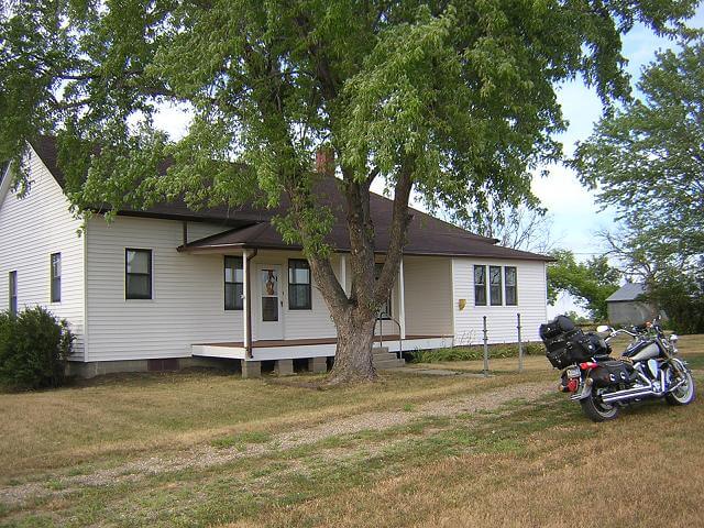
My grandmother moved out of the farm house about ten years ago. She's in an assisted living center in Sioux Falls now, so I don't make it out to the farm very often anymore.
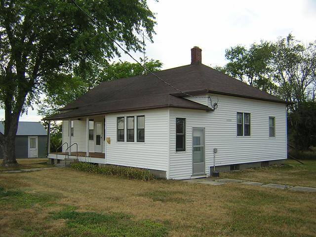
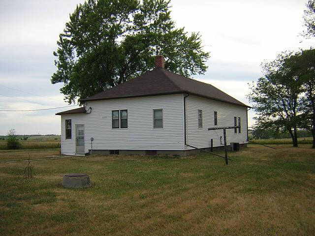
My father comes out to the farm regularly to do maintenance and keep things up. Overall I think the property is looking pretty good considering it's been sitting empty.
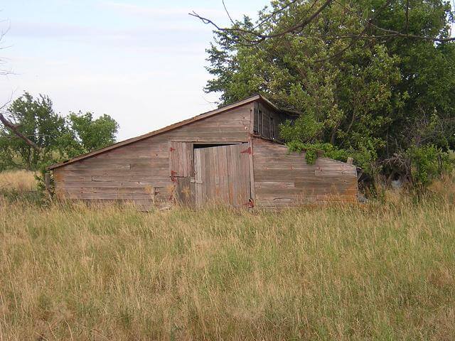
The old hog barn has seen better days, though. Now there's a tree growing through it.
After walking around for a few minutes and snapping some pictures, it was time to hit the road again. It was starting to get late and I wanted to make it home before my son went to bed.
Back on highway 18 heading east, I rode about 20 more miles to the Fort Randall dam on the Missouri river. I went up the dirt road to a lookout point and snapped a few pictures.
I stopped in Wagner, SD for gas, a couple slices of convenience store pizza and a soda. I pulled out of Wagner at 8:30 PM with a little more than 100 miles to go until I was home. Highway 18 branched off to the north, and I continued on straight east on what was now highway 46.
My body was really starting to feel the toll of the ride. My legs were aching, my left shoulder was complaining and my neck was getting pretty stiff. Oh, and did I mention my lips hurt? I found I could alleviate some of the pain by hooking my legs up behind me on the passenger peg, grabbing the handlebars down by the riser area, putting my elbows on the grips, and leaning forward over the tank. This moved my body into a more sportbike-like seating position. Usually this position isn't very comfortable, but it was nice to have a break from so many hours of upright seating.
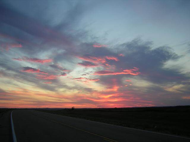
I pressed on, with each click of the pavement seams moving me closer to home. As I came up out of the James River valley, I caught a glimpse of the sunset in my rear view mirror. The colors were so vivid, that I had to stop to try and get a picture. The colors didn't turn out as bright as they were in real life, but it still turned out to be one of the best pictures I took the whole trip. This is one of the reasons I live in South Dakota; sunsets like these are commonplace. Even though they're a normal event, I still love looking at them.
At Beresford, SD, I got off the highway and headed north on interstate 29 for the last 30 mile stretch. It was nice to be able to finish up this last piece of the trip by going 80 mph.
At 10:10 PM I pulled into my garage, 15 minutes behind my original schedule. As I walked in the door, I was presented with the best sight of the whole trip.
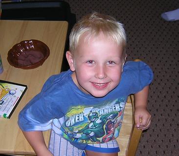
I would have kissed my wife, but my lips hurt too bad.
Miles Logged: 574.9
Time In Saddle: 13 hours
Gallons of gas used: 12.804
Continue on to the trip summary...
Return To The Main Motorcycle Gallery
This page last updated on 06/28/2018