Once I adjusted to the lack of noise and fell asleep, I slept well. I woke up at 5:50 AM again. However the bed was really comfortable, so I wasn't very motivated to climb out right away. This was the best bed I've slept on in a long time, including my bed at home.
I wound up falling back asleep until 7:30 AM. That was 9:30 AM Sioux Falls time. This was the latest I've slept in years, at least without being sick. If I wasn't already sure my body clock was going to be screwed up when I got back home, this morning confirmed it.
I followed my typical morning ritual to get ready for the day, which included showering and shaving. Then I made breakfast by heating up the last two frozen egg sandwiches that I had bought on Wednesday evening.
I watched some YouTube on my laptop computer while I ate. As I already mentioned, I never did turn on the TV during my stay.
The morning was cool and I felt a little chilly. I would have put my sweatshirt on, but I remembered I had thrown it in the back seat of Shawn's car the previous day and then forgot it there. I made a mental note to make sure and retrieve it today. I was going to leave early the next morning, and I knew I would probably want the extra layer as I rode before the day warmed up.
From the previous day's experience, I wasn't expecting to hear from Shawn until noonish. I decided to be productive with my time, so I grabbed a pot of soapy water and went down to the motorcycle. I scrubbed a layer of bugs off the bike. Once again I didn't try to make it perfect, but at least more presentable.
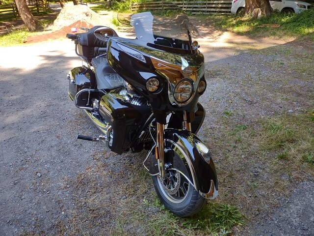
Because the Airbnb was on a gravel road, I knew there would soon be a layer of dust all over the bike. But at least it wouldn't have the layer of bugs under the layer of dust.
I did note that at some point during my journey here I lost a piece of chrome trim from my front fender. That was a bummer, but not the end of the world. I happened to have some extra trim material at home that I could cut to size and reapply. But until then I would have to ride home partially trimless.
At 11:40 Shawn messaged me and said he would arrive in a few minutes. He pulled into the driveway around noon, and I hopped in the car. Today's agenda was to explore Whidbey Island itself. We started to make our way up the island.
He took me on some back roads that he uses to get to work, and we drove through a housing development on the beach.
Shawn wanted to grab a snack, so he pulled over at a convenience store in the town of Freeland. They had one of those display cases full of indiscernible fried food. I recognized a chicken breast, so I asked for one of those. I saw jalapeno tater tots on the menu, so I also ordered some of those, and hoped the person dishing up the food knew which bin of fried objects were which. While I was getting food, I also grabbed a Gatorade.
As Shawn and I checked out, the young guy behind the counter was very exuberant and friendly. However, what really caught our attention was his voice. I'm not exaggerating when I say he sounded exactly like Elmo from Sesame Street.
Shawn and I got back in the car, and looked at each other. We both knew what the other guy was thinking, we were just waiting to see who would be the first to say it. Finally I said, "There's no way that was his real voice, right?" And we both burst out laughing.

On the way up the island, Shawn showed me the road I would take to get to the Keystone Ferry Landing when I was going to leave the next day. He said that GPS would probably take me the long way, but this way would be shorter. I made a mental note to remember this route.
As it turned out, the next day my GPS would find a third route to get me to the ferry. But more on that later…
We continued up the island all the way past Oak Harbor. At the very top of the island is a place called Deception Pass. Deception Pass separates Whidbey Island from Fidalgo Island to the north. It connects Skagit Bay to the east with the Strait of Juan de Fuca to the west.
It received its name because the initial explorers to the area thought that Whidbey Island was actually a peninsula. Once they discovered that there was actually a 500 foot wide gorge separating Whidbey from Fidalgo, the moniker "deception" was awarded.
Shawn has an annual state park pass, so we were able to park in the lot near the bridge.
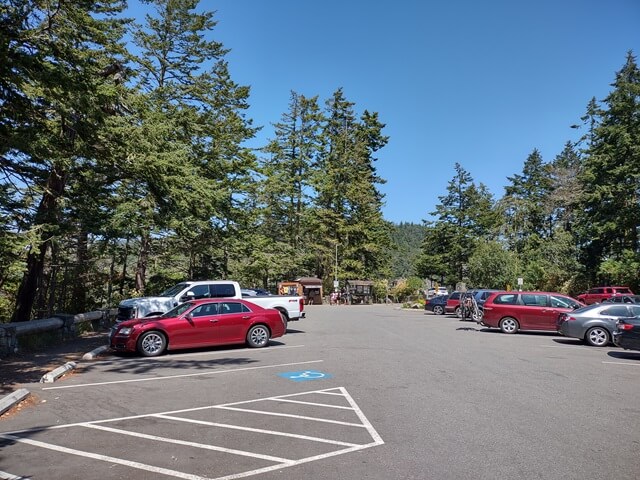
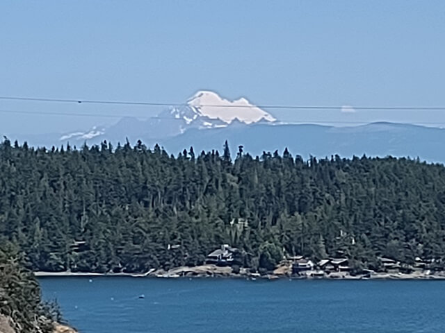
We walked out onto the bridge spanning deception pass. Looking to the east, Mount Baker is visible in the distance.
It is roughly 180 feet above the water, giver or take a few feet depending on the tide.
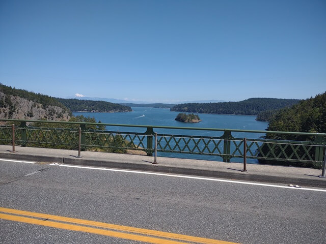
Looking to the west you can see the Strait of Juan de Fuca. And you can see a little bit of my finger as well.
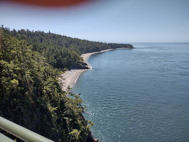
Overall I was handling the bridge pretty well, despite my fear of heights. Traffic was heavy and the cars passing over the bridge caused the entire bridge to shake. After a minute or two, I decided that was sufficient and we made our way back to the south.
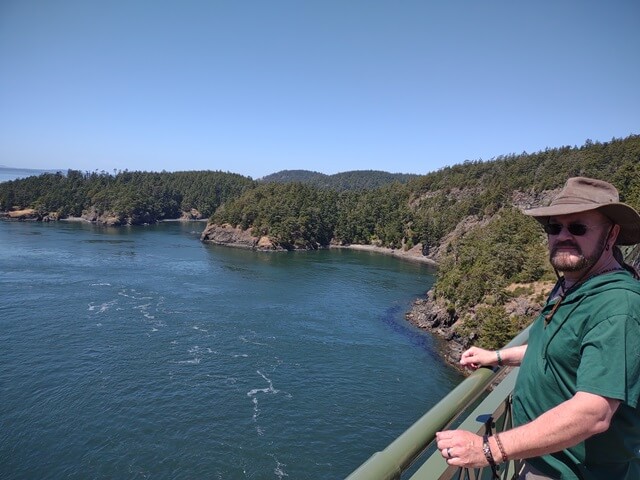
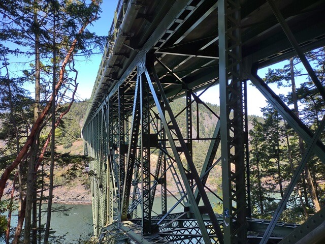
There was a trail leading down to the beach, so we followed it. For people intrigued by engineering, this trail gave a good view of the underside of the bridge.
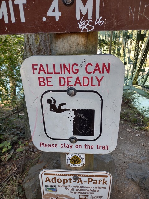
Shawn pointed out one of his favorite signs that always makes him laugh. If you didn't know already, falling can be deadly.
About halfway down the trail we got a good view of the bay. We weighed whether or not we wanted to continue down the steep trail all the way to the beach, and I opted to go ahead. It's not like I'm here very often, so I might as well experience it all.
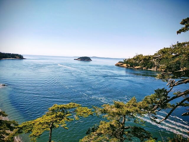
At the bottom of the trail there was a beach. From the beach you get a good view of the Deception Pass bridge.
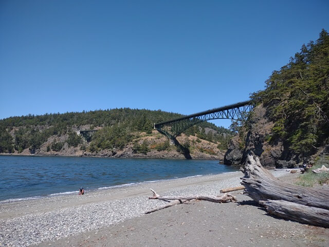
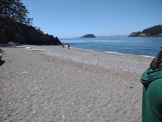
The water was cold, but that was OK because I wasn't planning on swimming. I did find a couple cool little rocks that I put in my pocket to take home to the Tundra Boy. He was a big rock hound when he was younger. These days he's not as big of one, but he still likes them. In fact, during the time while I was on this trip he had his rock polisher loaded up and chugging away.
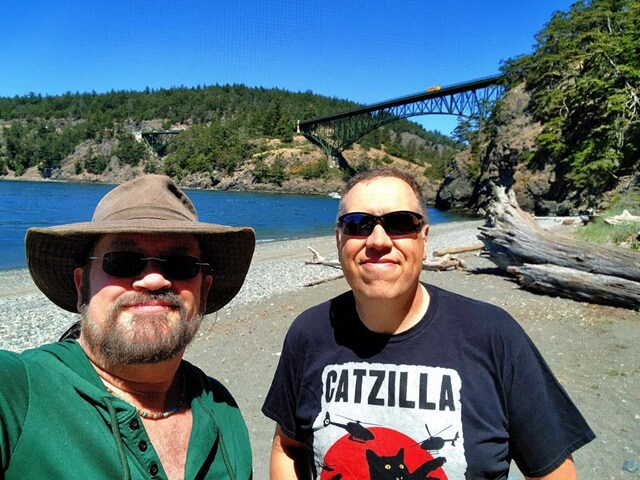
Shawn took a selfie of us with the Deception Pass bridge in the background. I thought this picture turned out pretty well.
We made our way up the hill, which seemed like it got a lot longer and steeper during the time we spent on the beach. While we were ascending, there was a family coming down the hill. The parents were trying to console an extremely unhappy toddler. They both were wearing expressions on their faces that said, "Remind me again why we had children?"
I resisted the urge to tell them that these young ages are the easy part of parenthood; it only gets more challenging as they age. I figured my advice would not be received well at this moment in time.
We stopped at the lookout point for a quick rest break. The temp was only about 70°F, but climbing the steep hill was making us sweat.
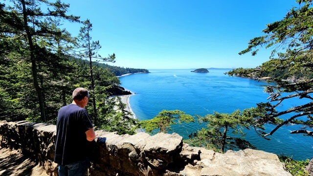
Once we were back at the top, we got in the car and drove across the bridge to Fidalgo Island. There is a small lake that Shawn likes just a mile or so from the bridge.
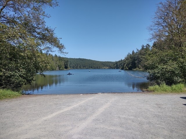
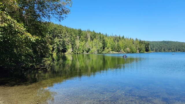
This is Pass Lake. The water was extremely calm and clear, so you could see the bottom.
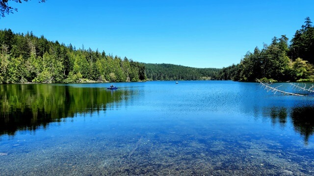
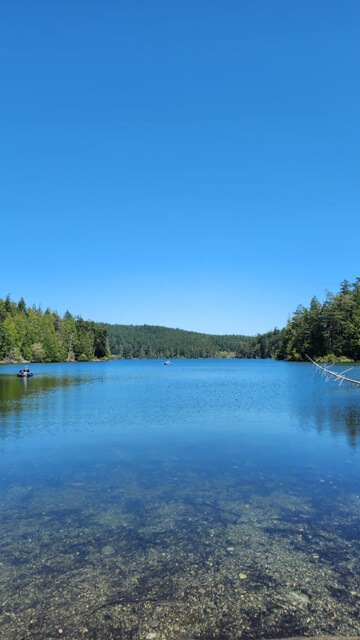
There were people out on the lake fishing and riding paddleboats. It was a beautiful day for it.
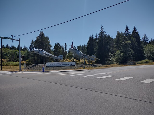
After a few minutes we got back in the car, crossed the bridge to return to Whidbey Island and headed towards the town of Oak Harbor. There is a Naval Station in this town. As we passed the entrance I took a picture of the planes on display outside the front gate.
Shawn was receiving some texts from one of his clients. In addition to working in a grocery store, he also does PR work for a local musician. They had a guitar festival approaching in a few weeks, and the client needed help getting some information updated on his web site. Shawn pulled over in Windjammer park so he could resolve the issue.
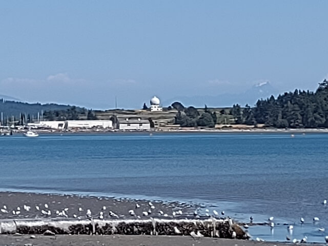
While he worked, I walked around and snapped a few photos of the harbor that gave the town its name.
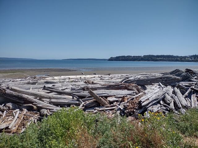
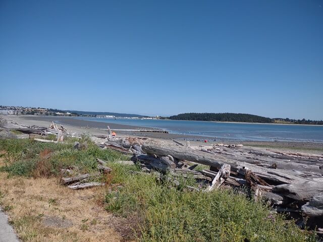
Across the harbor one can see an odd structure. I thought maybe it was a telescope observatory, but Shawn said it was actually a radar station.
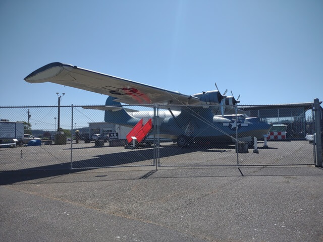
With his client issue resolved, we resumed the tour of the island. In the town of Oak Harbor there is an old plane parked outside of the naval air museum. We opted not to visit the museum itself. I've been to the National Museum of the Air Force in Dayton, OH at least twenty times, and frankly after you've visited that museum every other air museum pales by comparison.
We left Oak Harbor and headed south towards the town of Coupeville. There were some interesting trees that I didn't recognize. They had a reddish bark and gnarled branches. I found them interesting so I snapped a picture to remind myself to look them up later.
I believe these were arbutus trees, also known as the Pacific madrone. They feature white flowers and red fruit. It is also nicknamed the "strawberry tree" although the fruit produced are not really strawberries. While I was there they were not either in the flowering stage or the fruit producing stage.
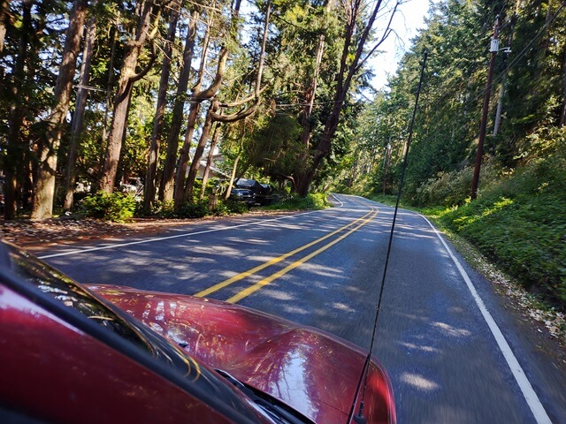
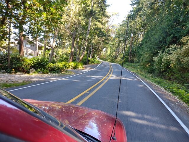
I took another picture as I hung out of the car window, but for the life of me I can't remember why.
We drove by a slice of the trunk of the largest tree found on Whidbey island.
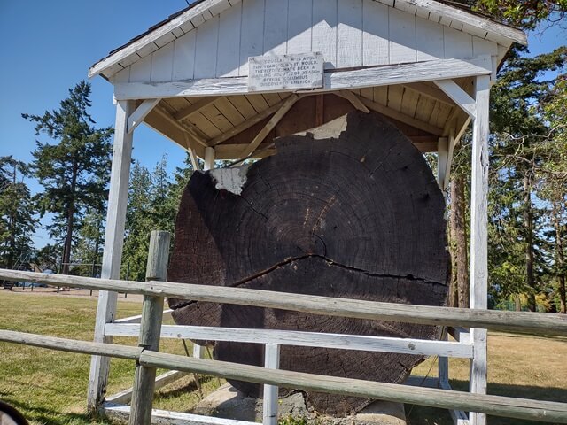
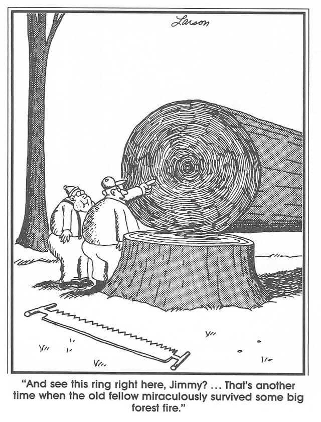
Whenever I see a slice of a tree like this, I remember this old Far Side cartoon:
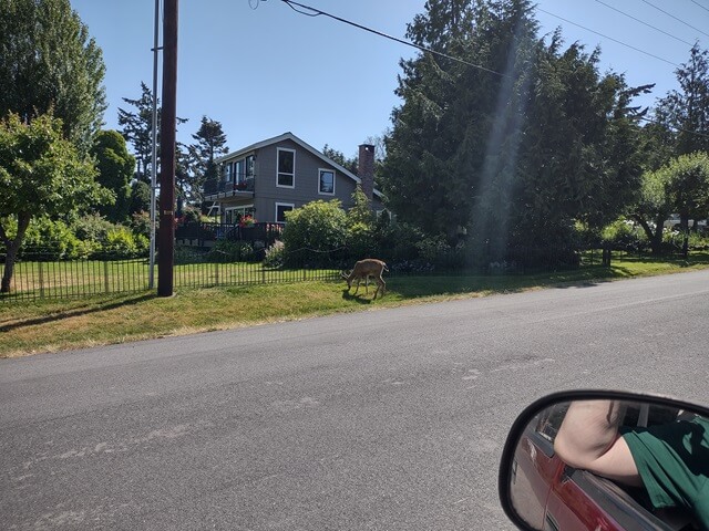
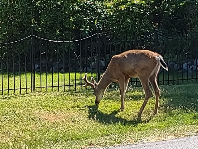
Across from the tree slice, there was a deer grazing in someone's yard. We took a couple of pictures. Back in Sioux Falls I see deer in my yard every single day so it's not that interesting when I see them there. However for some reason seeing deer in a new place makes it interesting again.
In Coupeville we parked the car and walked around for a while. Main street has a lot of cafes, shops and boutiques. We opted to skip those. Instead we walked out the pier to the marina. There was a gift shop inside, and a restaurant. And I noticed they also had a Roomba.
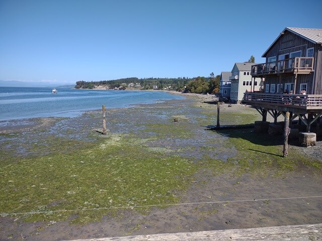
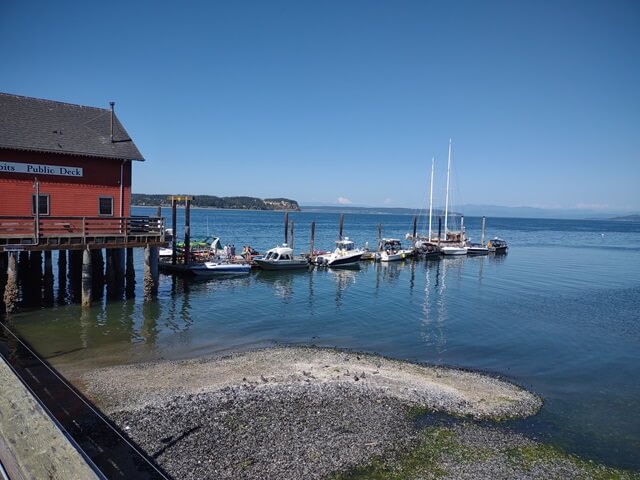
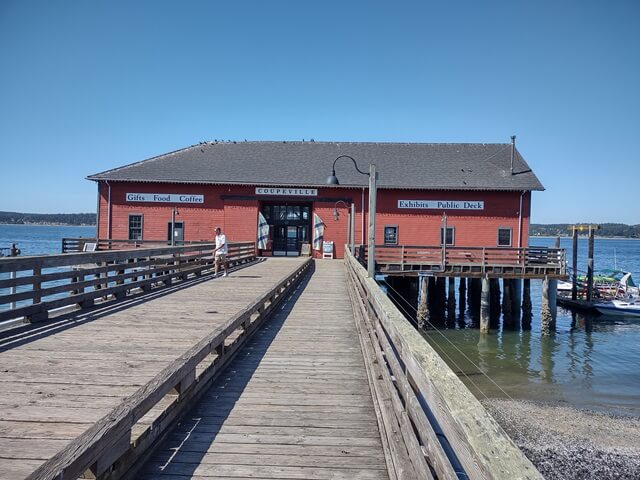
We walked out onto the dock to get a closer look at the boats. This was a floating dock, which meant it had a little bit of movement as we walked along.
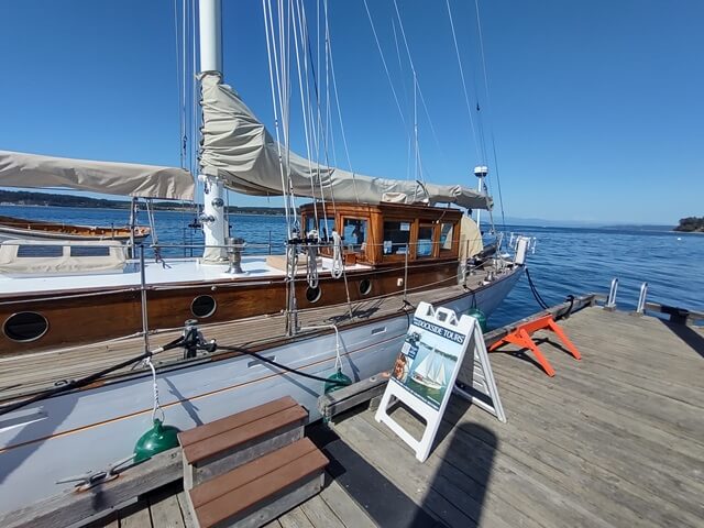
At the end of the dock was a good sized sailboat. This was available for tours, both of just the boat itself, and also sailing tours of the sound.
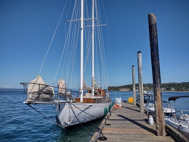
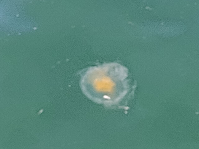
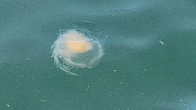
As we walked back down the dock, I looked down and saw a jellyfish floating in the water. I had never seen a real jellyfish before, so I took a couple of pictures.
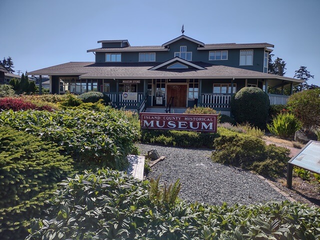
Back on land, we walked by the Island County Historical Museum.
We saw the Alexander Blockhouse. This was the earliest blockhouse built on Whidbey Island. A blockhouse is a fortified structure which was used by the first three settler families as protection from Indian attacks. The house originally sat on a nearby farm, but had been restored and moved to its current location.
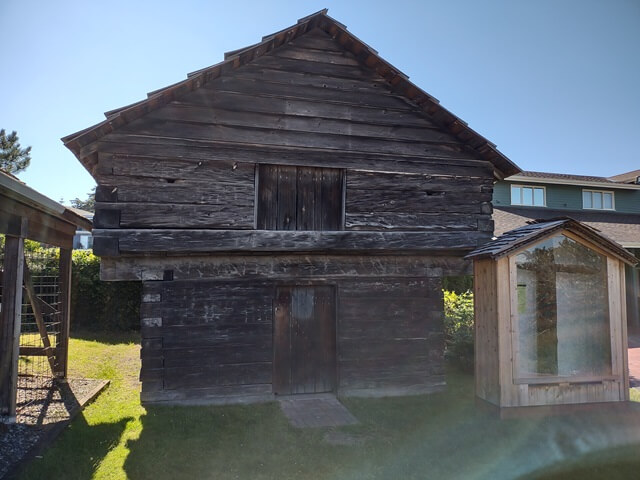
Back in the car, we drove to a nearby gas station. Shawn was interested in grabbing some food. This gas station also had the now ubiquitous display case full of indiscernible fried items like the others. However, it was now 4:30 in the afternoon and it looked like the items in the case had been picked pretty clean. What remained in the case had obviously been sitting there for hours unwanted, and looked rather sketchy.
Rather than playing ptomaine roulette, we went next door to the Pizza Factory. The sketch level was much lower here.
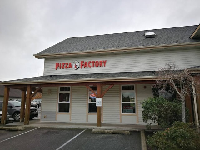
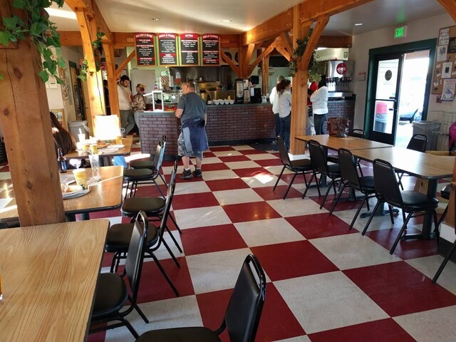
We ordered an all meat pizza with mushrooms, and sat and ate for a while. It was pretty good pizza.
With our bellies full, we got back into the car and drove down to Fort Casey state park. This is a state park located next to the Keystone Ferry which I would be taking the next morning when I left the island.
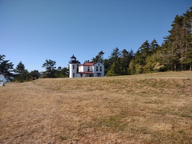
We walked all over the park and did lots of exploring.
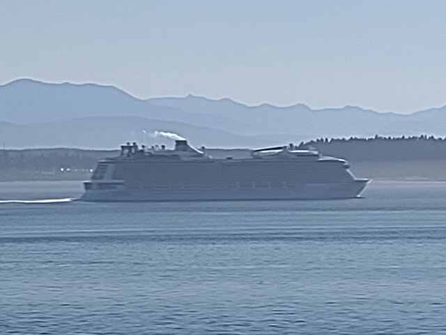
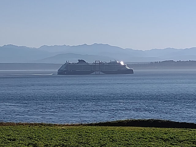
As we were walking around, a cruise ship went by. It never had occurred to me that cruise ships would sail through Puget Sound, but once I thought about it it made sense. The ships dock in the Seattle area, and have to sail through the sound to get to the ocean.
Before this trip, in my head I always thought of Seattle as being located along the ocean. However, Seattle is actually located around 100 miles east of the ocean. The ships that dock in Seattle need to sail a fair distance to get to the Pacific.
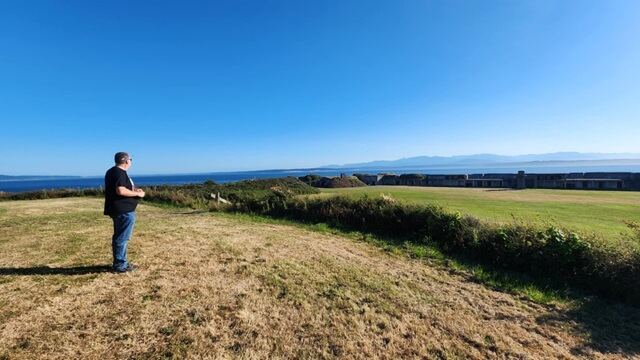
Shawn took a picture of me contemplating this fact.
The ship slowly sailed by, with the Olympic mountains in the distance.
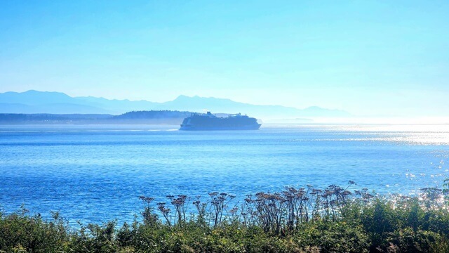
Apparently I contemplated things for a long time.
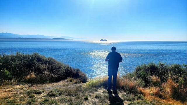
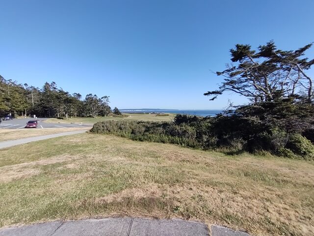
The state park wasn't large, stretching perhaps a half mile along the coast.
Construction of the original Fort Casey began in 1897. There were large cannons mounted all along the coast. Here is one of the (now) empty cannon mounting points.
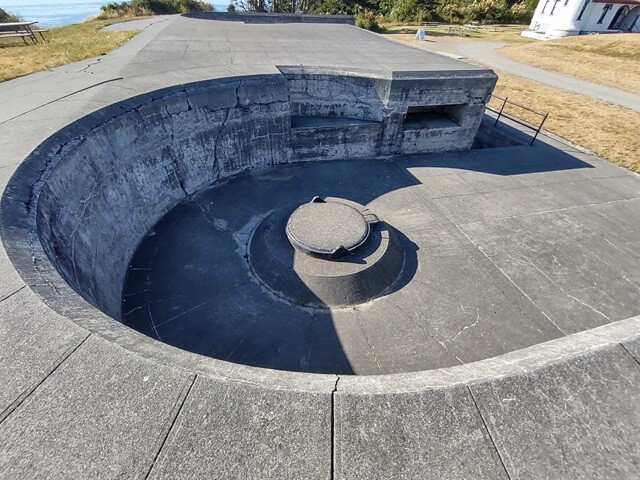
The idea for the fort was that the cannons would be mounted on retractable mechanisms so that they could hide behind the hill side when not firing, and be difficult for approaching ships to spot them.
It was an admirable idea that wasn't effective for long. In an unforeseeable development, six years after the fort was built the Wright Brothers achieved powered flight. Within 15 years after construction, the invention of air warfare rendered the fort obsolete.
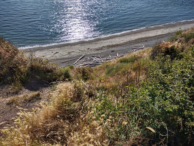
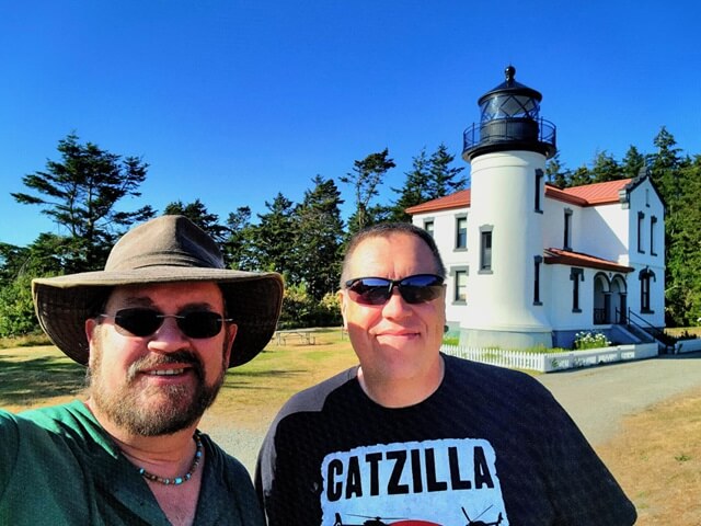
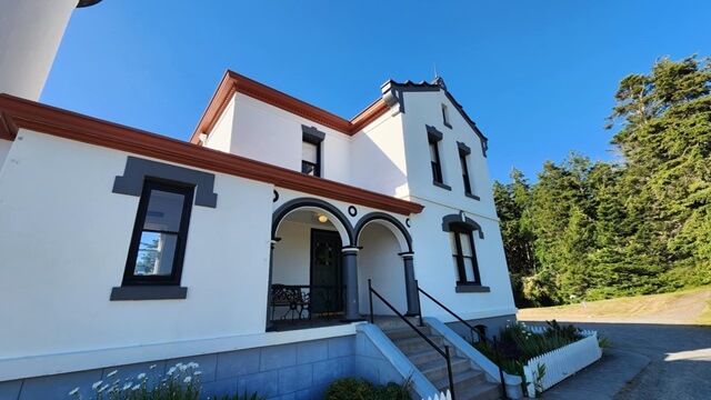
Preceding Fort Casey, the original Admiralty Head lighthouse was built in 1861. After Fort Casey was constructed, the "new" Admiralty Head lighthouse was built in 1903. The restored lighthouse still stands, although it is no longer active.
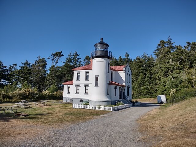
When the new lighthouse was built, it was made with thick reinforced walls to allow it to withstand earthquakes and the concussion of Fort Casey's guns.
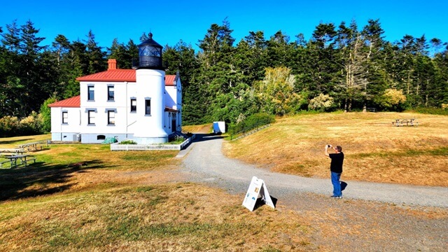
The lighthouse was deactivated in 1922, and the lantern was moved to be used in another lighthouse across the bay.
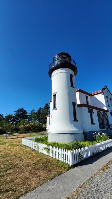
After the lighthouse was de-lit, the Army used it as a K9 training facility.
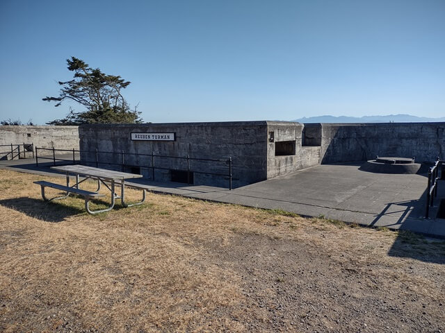
Throughout the fort were nine different battery locations, each named after what I am assuming was an important and influential person of the time. This is what's left of Battery Turman.
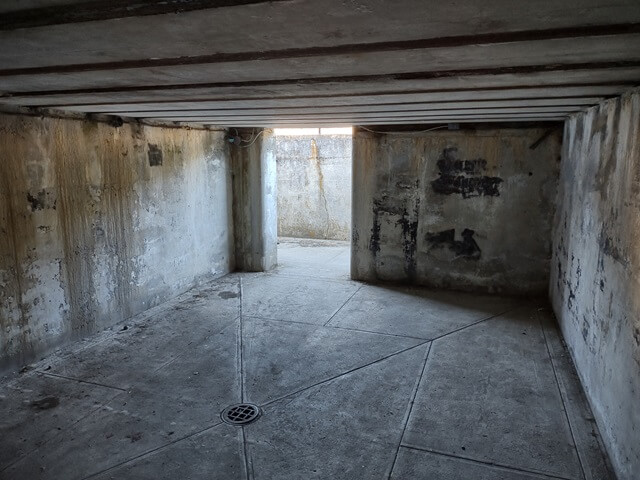
Under Battery Turman was an old room used for storing artillery. This room was very echoey when we would speak. I can only imagine how loud it was when the guns were firing.
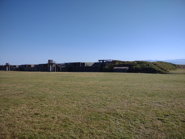
We walked over to Battery Worth. They have a couple decommissioned guns at this battery site.
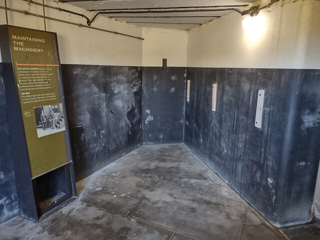
This room underneath the gun turrets was used for maintaining the equipment.
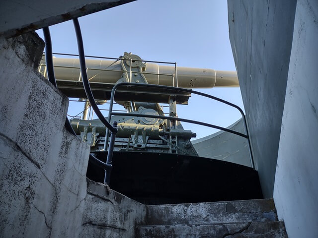
One of the guns can be seen looking up from a service shaft.
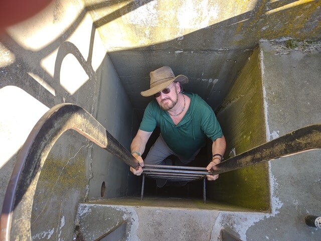
We decided to climb the ladder up the service shaft to access the top of the battery. I went up first, then took a picture of Shawn as he came up the ladder.
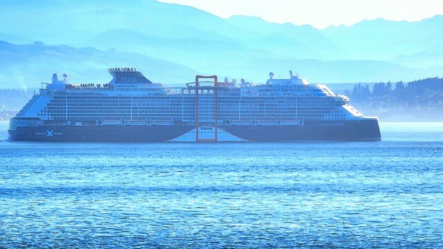
Another cruise ship sailed by as we stood on top of the battery.
The original guns from the fort were removed during WWI to be mounted on railcars to serve as mobile heavy artillery. Some of the guns returned after the war, but then by World War II they were scrapped in favor of larger guns that had superseded them. The two guns currently on display were actually used in the Philippines before their retirement and transportation to Fort Casey for display.
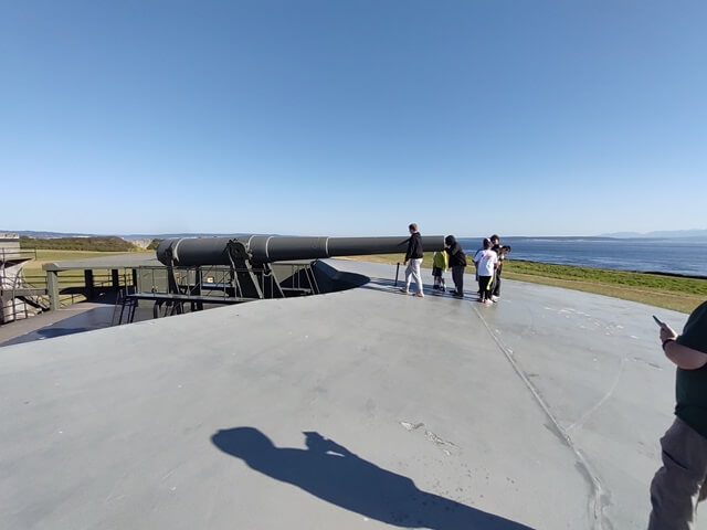
The guns were mounted on a recoil mechanism to allow the firing of the gun to let it drop immediately down behind the fort wall and make their detection difficult from ships.
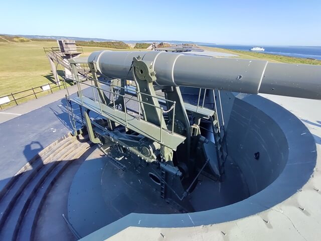
The other gun at the fort is displayed in its retracted, non-firing position.
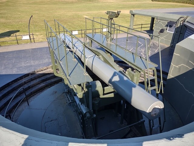
Fort Casey is located next to Admiralty Bay.
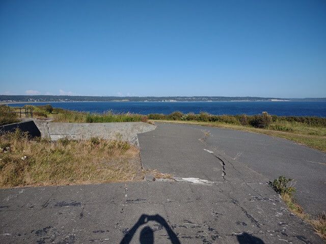
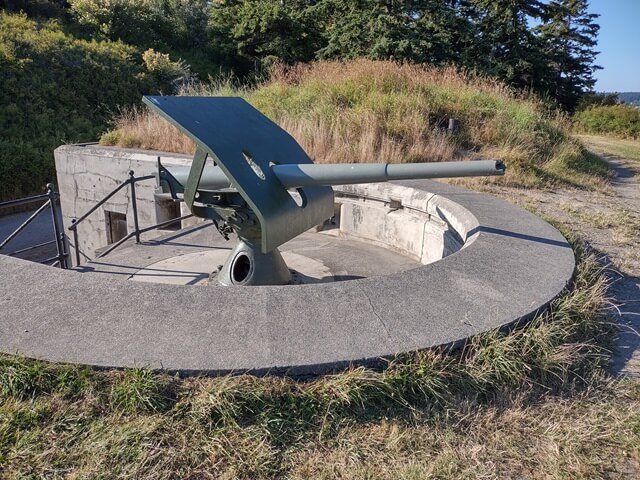
We continued our exploration. Further down was a smaller gun on display at Battery Trevor.
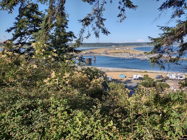
From the top of the hill we could look down and see the Fort Casey state park campground.
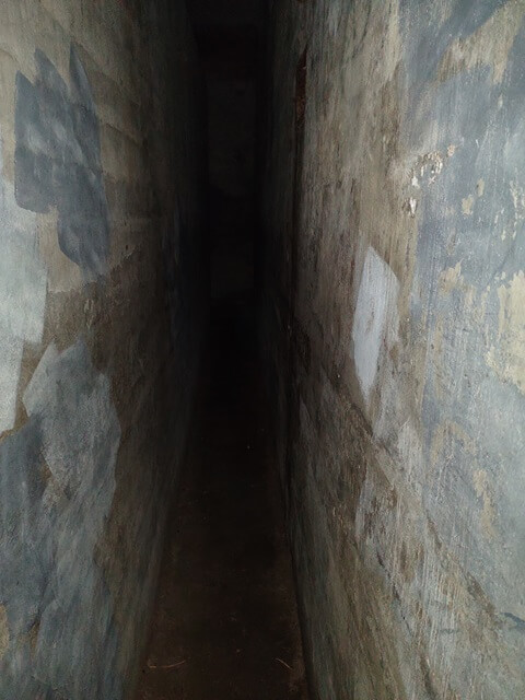
There was an underground switchboard room built into the side of a hill.

This was a concrete room built inside of a concrete room. There was a 2' wide gap all around the outside of the room, intended to help isolate the switchboard room from noise and vibrations of the battle. I walked around the perimeter of the inner room, just because I could.
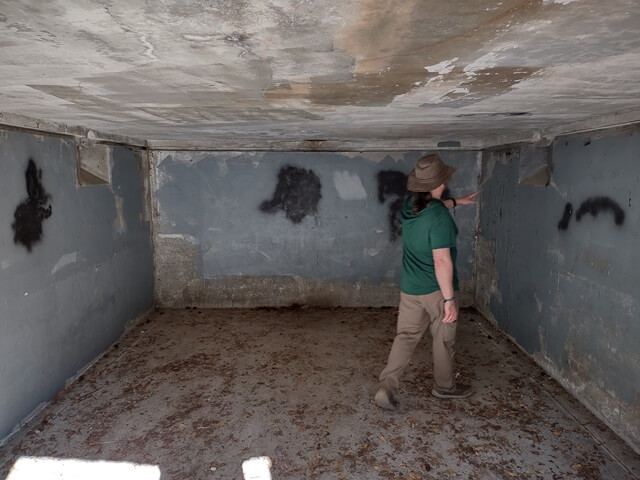
Further down we explored another munitions storage room.
Up on the hill was the observation station, where the commanders could oversee the battle and send orders down to the guns.
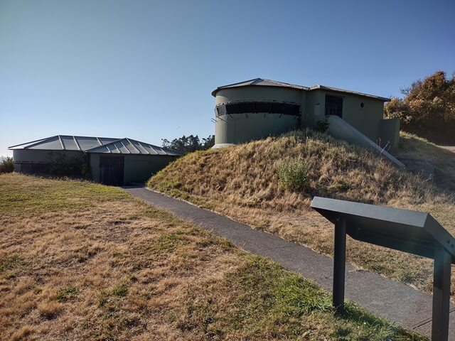
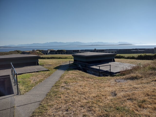
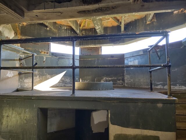
We went inside one of the observation stations to explore.
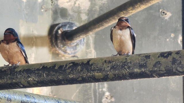
Some birds joined us as we looked around.
Peering out from the observation station one could see Puget Sound.
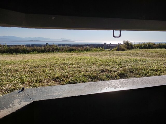
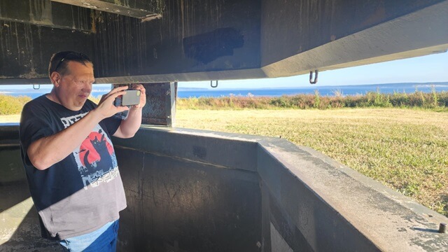
And Shawn took a picture of me taking the above picture.
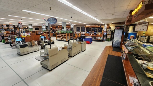
It was now 6:30 PM. We had seen most of the park, so we got back in the car and headed up the road to the town of Freeland. This is where the grocery store at which Shawn works is located. We stopped at the store so I could see his workplace. While I was there I picked up a frozen entree that I could eat later for supper back at my Airbnb.
Next we drove to the town of Langely, and Shawn showed me various landmarks there. After that, it was approaching 8 PM and Shawn needed to get ready for work, so he took me back to my Airbnb.
He dropped me off, and we said our goodbyes. I wouldn't see him again before I left in the morning. As he pulled away I realized that I had only seen his mom and his family for a brief time on Wednesday evening. I felt bad for not being able to tell them goodbye as well. If I could go back in time I probably would have tried to figure out to at least see them one more time.
I called home to Sioux Falls to check in, then ate the remainder of my bag of spinach and heated up the frozen dinner I had bought. It wasn't too bad. A little small, but that's OK because after the pizza I had earlier I didn't need to be eating a lot of food.
I started packing up and arranging everything I could for the morning. I was a bit apprehensive about leaving the next morning. Not just because I wished I could stay a little longer, but because I knew the next day would be the longest day of the trip. It wouldn't be the longest day in terms of mileage, but definitely would be the longest in terms of travel time. Part of my nervousness was worry that I had bitten off a little bit more than I could chew with my aggressive route planning.
Another source of the anxiety was due to the ferry crossing. One of the necessary events that needed to happen to make the next day's route feasible was that I needed to be on the first ferry off the island. I was going to take a different ferry off the island than the Clinton ferry I had already ridden three times. The Keystone ferry would take me across the bay to the town of Port Townsend.
Because the Keystone ferry only runs during the day hours, there are fewer opportunities for travelers to cross. They highly recommend getting reservations, as the standby wait times can get long. I didn't want to risk not getting a ride across, so a month earlier I had purchased my reservation for the very first ferry of the day. I just had to make sure to be to the ferry dock in time.
The website seemed pretty emphatic that riders should be at the ferry no later than half an hour prior to departure. My departure time was 7:15 AM, which meant I needed to be at the ferry at least by 6:45. Not knowing the area, I was relying on Google to tell me how long it would take to get from my Airbnb to the ferry port. It said 25 minutes. I decided to try and be on the road by 6 AM just to be safe. If I got to the port early, that was OK by me for the piece of mind it would provide.
The worry about the whole ferry crossing had been eating at me since even before the trip started. I knew once I was finally boarded that I could breathe a huge sigh of relief. However, by this evening it was definitely the most pressing issue on my mind.
I set my alarm for 5 AM and got into bed about 10:15. Despite my brain being pretty active with the worry about the next day, I actually fell asleep fairly quickly.
Return To The Main Motorcycle Gallery
This page last updated on 12/10/2024


