


I had been a good boy and went to bed early enough to have the potential to get 8 hours of sleep before my alarm was scheduled to ring. Unfortunately, I woke up during the night for more than an hour. My brain turned on, and I wasn't able to turn it off, so I lay there awake ruminating about areas of my life that I can't control.
This has been happening with an increasing frequency the last couple of years. It doesn't happen every night, thank goodness, but I can usually anticipate one or two sleep interrupted nights every week. The last six years in particular have been unusually stressful. A handful of bad situations came ashore at the same time in a monumental crap storm, and none of them have a satisfactory resolution in sight.
The analytical side of my brain says, "There's nothing you can do about the situations, especially at 3 AM. Go back to sleep." However, my emotional side starts to panic about the future and gets me tensed up making returning to sleep very difficult.
Thankfully this night wasn't as bad as some, and after a while I was able to fall back asleep. I was sleeping quite soundly when my alarm went off at 6:45 AM.
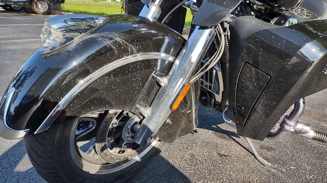
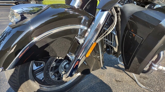
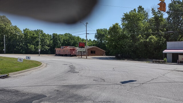
After going through my morning ritual, I decided again to go outside and clean the bike before I went to eat breakfast. The bike was very dirty from the previous day's rain and wet roads. It wound up taking a full hour to clean it, and I didn't try to get every bit of dirt. The motorcycle looked pretty good from 10 feet away, but up close there was still a lot of crud in the crevices.
Before:
After:
On a positive note, as I was cleaning the bike I bumped the windshield and heard a familiar noise. This motorcycle has had an annoying rattle that I will hear occasionally. I wiggled the windshield and was able to reproduce the sound. Mystery solved! I looked down towards the bottom of the windshield as I wiggled it, and could see a bolt that was loose. Unfortunately, I didn't have a long enough wrench with me to fix it immediately, but at least I now know where it's coming from.
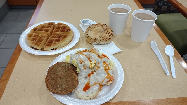
With the bike in a more presentable state, I went back inside the hotel and ate breakfast. You can bet I was extra careful with the waffle syrup this time. I ate a lot. Country Inn and Suites always has a good sized breakfast, which I like. I probably wouldn't be needing lunch again today.
I went back to the hotel room and brushed my teeth, then finished packing up the last few odds and ends. I was wearing my tennis shoes earlier, so I changed into my boots. My loyal readers will recall that my old boots bit the dust towards the end of last year's motorcycle trip. I recently bought new boots.
With my previous couple pairs of boots had come from Payless (I know, big spender.) With the Payless stores no longer being in existence, I decided to splurge a little and buy a nice set of boots. I got a pair of Red Wings, which turned out to be surprisingly comfortable for boots, especially boots that hadn't even been broken in. They have a composite protective toe to protect me if I inadvertently run over my own foot. But the best part is they have the "BOA" system. I'm not sure what BOA stands for (if anything) but what it amounts to is in lieu of laces it has a knob that you turn to evenly tighten the whole boot. Then when you want to take the boot off you pull the knob out and the boot immediately is loose enough to slide off your foot.
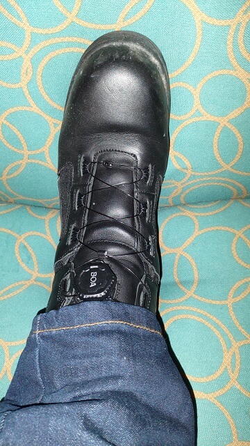
I quickly grew to love the BOA system. Putting on and taking off my boots now takes just a couple of seconds. If my boots are too tight or too loose, I can easily reach down with one hand while I ride and turn the knob to perfectly dial in the fit. While the boots weren't cheap, I'd pay the money again in a heartbeat just for this feature.
I loaded my luggage onto the bike and checked out of the hotel. I was on the road at 9:12 AM, which was an hour later than I wanted.
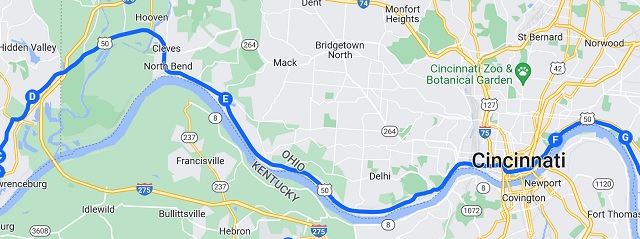
Today was to be the shortest day of the trip mileage-wise, but I would discover it still took 10 hours of riding. There would be lots of slow back roads that kept my average speed rather low.
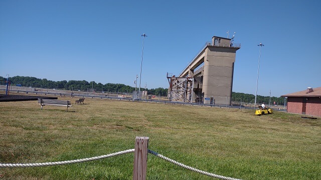
Not far out of Evansville I came across the Newburgh Dam. Over the next couple days I would see so many dams along the Ohio River that I wouldn't pay much attention to them. However, I didn't know that would happen. This being the first dam I encountered on the ORSB, I stopped and snapped a photo.
Somewhere along this part of Indiana I entered the Eastern time zone. Then a few miles down the road I would swing north and re-enter Central Time. Then a few miles later I would head east again and go back to Eastern time. I didn't really pay much attention at the time, but later on when trying to organize my photos it caused some confusion. My phone orders photos by date and time. Jumping back and forth between time zones caused some of the photos to be listed in a different order than I remember taking them. I scratched my head about this for a while until I realized that these out-of-order photos all happened while I was crossing time zones.
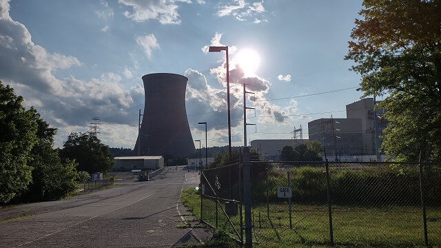
Just to the east of Rockport, IN, I saw a nuclear power plant. Actually, over the next couple of days I saw a total of nine nuclear power plants. Considering there are (if I counted correctly) 55 active nuclear power plants in the US, I think seeing nine of them is a pretty good percentage on one trip. I got a picture of all but one of them, as when I saw that one I was on a fast moving four lane highway and there wasn't a safe place to pull over.
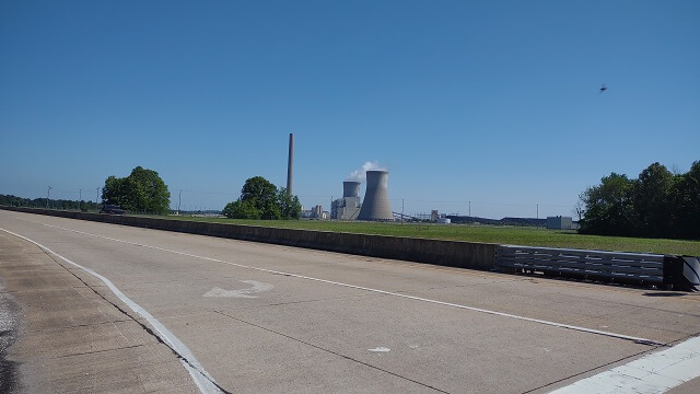
I find nuclear power plants morbidly fascinating. I think it stems back to when I was in 4th grade, and was staying up late to try to watch "The Midnight Special." My parents had gone to bed and didn't know I was still in the living room watching TV. Prior to the Midnight Special coming on, there was a news program called "Nightline" hosted by Ted Koppel. That show is still being broadcast at the time of this writing, although Ted Koppel retired years ago.
The Nightline episode that evening was dedicated to the partial meltdown of Three Mile Island which had happened two days prior. On the day of this Nightline episode, a hydrogen bubble had been discovered in the pressure vessel, and they were trying to figure out how to release it before it caused a nuclear explosion. The whole thing terrified me. I sat there riveted to the TV show feeling completely helpless, and when the program ended I was no longer interested in watching the Midnight Special, so I went to bed.
Growing up, I always had an acute awareness of my own mortality. From a young age I had an unnaturally strong fear of catastrophic events like lightning, tornados, earthquakes, nuclear wars, etc. Fire truck sirens made me run and hide. Every month when they would test the civil defense sirens it would nearly send me into a panic. I would lay in bed at night wondering if the Soviet missiles were already en route to kill us all. Summer thunderstorms would put me into hiding until they passed.
Thankfully, as I got older for the most part my fear subsided down to healthier levels. However, I still find things like nuclear power plants and cold war weaponry interesting. At a subconscious level they probably remind me of my youth. In any event, on this trip every time I rode by a nuclear power plant on this trip I would stare at it in fascination.
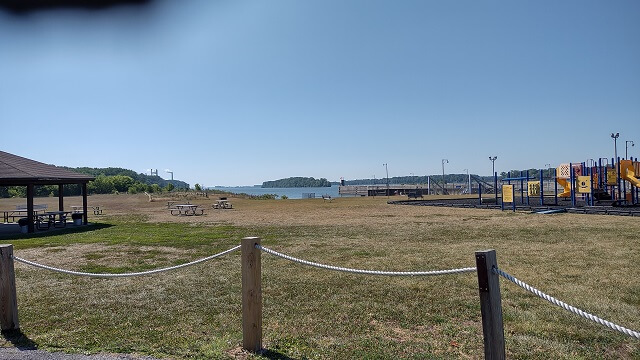
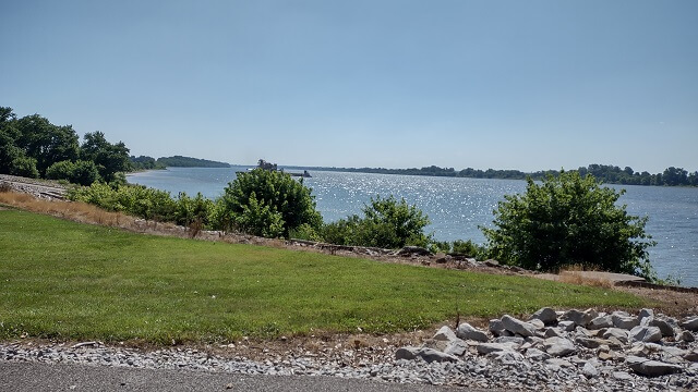
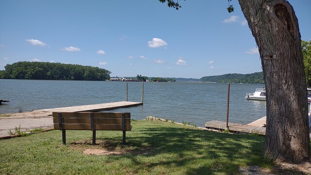
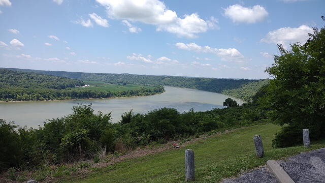
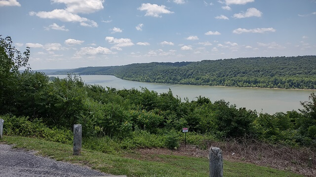
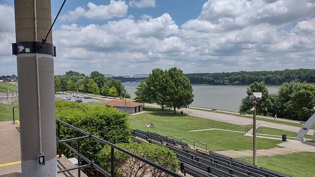
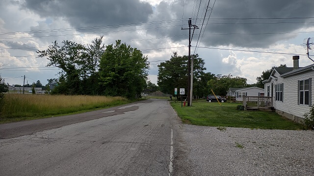
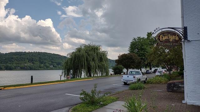
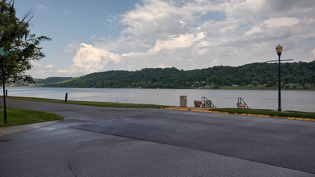
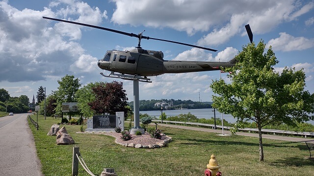
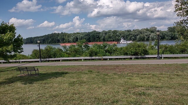
In Grandview, IN, there was a nice little park area next to the river. I pulled in and snapped a few pictures.
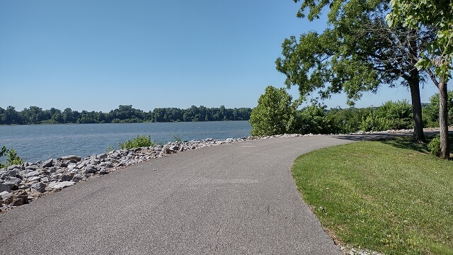
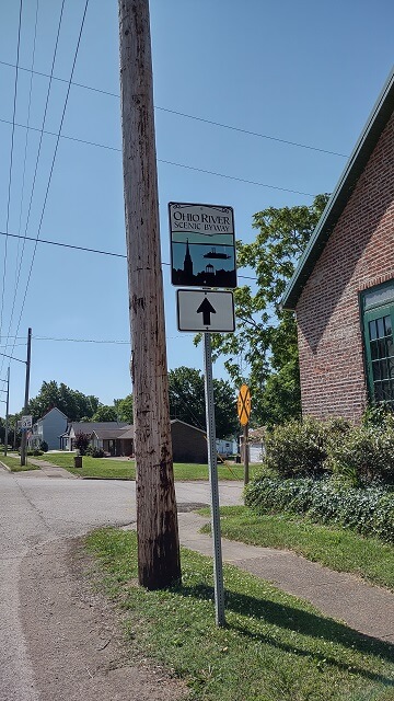
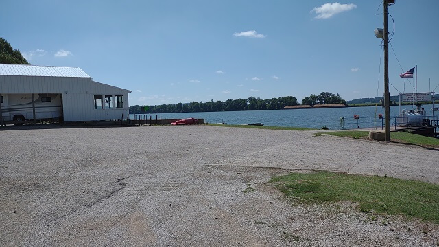
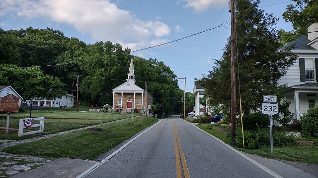
I continued along the ORSB. There were a lot of little towns so it wasn't a real efficient route to ride, but then again I wasn't on this route to be efficient.
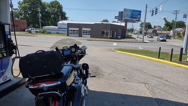
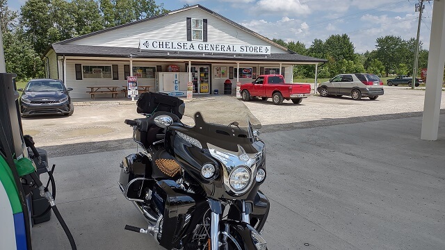
About an hour down the road from the hotel, in Tell City, IN, I pulled into a gas station to take a short break. I took off my armored jacket even though it was only in the low 80s. I think the previous day's heat was still lingering in my body. For whatever reason, I couldn't mentally deal with having a jacket on at this point in time, even though it wasn't yet unbearably warm.
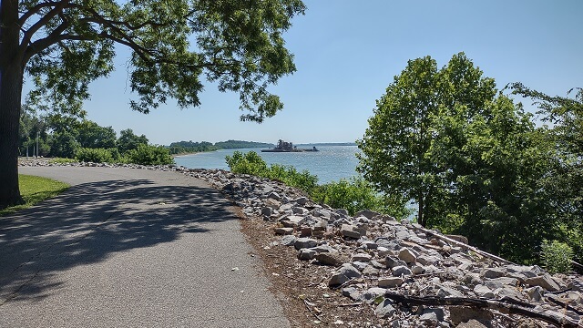
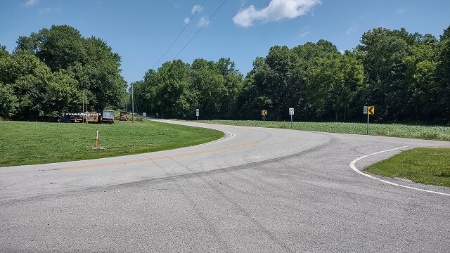
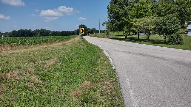
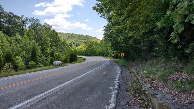
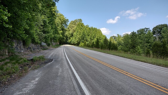
I rode along this stretch, stopping frequently to snap a photo.
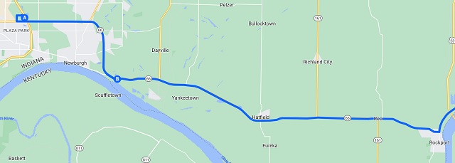
The Garmin GPS kind of freaked out this entire day. It would tell me to take a U-turn, and then immediately tell me to U-turn again back to my original direction. I started to just ignore it.
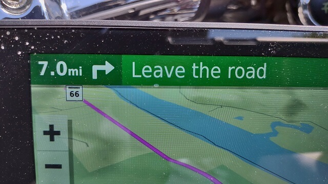
I had this day's GPS route spread across three files. I completed the first route and loaded up the 2nd route file. At that point the GPS went completely haywire again. It would direct me in straight lines through fields. Several times it actually told me to leave the road (using those words; see the picture.) I restarted the route three times and for whatever reason after the third time it finally straightened itself out.
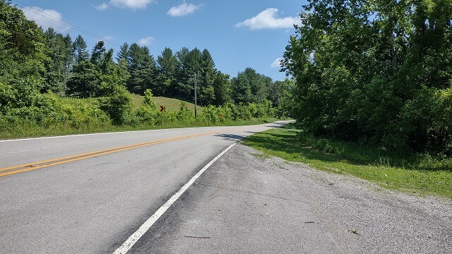
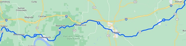
I discovered that the ORSB starting just west of Roam, IN heading northeast to Corydom, IN is extremely pretty. There were plenty of curves in the road, with lots of hills and almost all of it was under a canopy of trees. The only downside is there were no shoulders so I wasn't able to get a lot of pictures in this area. That's a shame, as it really was a beautiful place to ride. Who would have thought that the most beautiful scenery of the whole trip would be in Indiana?
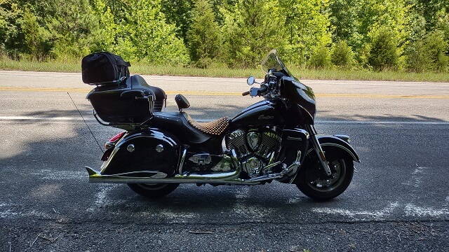
There was a stretch of road just east of Sulphur, IN where it straightened out for about half a mile and had a large shoulder area. I decided visibility was good enough and the shoulder was wide enough to pull over and take a stretch break. Despite all the other creature comforts, the Indian seat was nowhere near as comfortable as the stock seat on my Yamaha Roadstar. The funny thing is, most Roadstar riders would complain about the stock seat as being uncomfortable. They need to sit on an Indian for a couple of days and then they would quickly change their tune.
Overall, so far I like the Indian, but the stock seat is not one of its strong points.
Despite me carefully designing my route file to not get on the interstate, at Maplewood, IN the GPS insisted that I get on the interstate. Not knowing where else to go I was about to conceded and enter the freeway when suddenly I saw a sign indicating the ORSB went to the right on Corydon Pike road. I symbolically thumbed my nose at Garmin and followed the sign. I'm glad I did. This was a nice little road.
Just outside of the Louisville area the GPS gave me an "unable to calculate route" error and stopped. When I say "stopped" I mean it just gave up. It ended the route, and took me back to the main menu screen. Before I left on the trip I installed the latest Garmin updates. I'm starting to wonder if they put out a firmware version that had a lot of bugs, because I've never had a GPS act as flaky as this thing did on this trip.
On the west side of New Albany (which is right across the river from Louisville) I pulled into a convenience store to take a stretch break and reapply sunscreen. While I generally try to avoid drinking my calories, I was extremely thirsty so I purchased a liter of lemonade and wound up drinking the whole bottle during this rest stop.
My left shoulder was hurting, which has been a recurring theme on my website for at least ten years now. The fact that I was still having this problem on a completely different motorcycle would indicate the problem was not with the bike or seating position. Also, I purposefully did not wear my leather vest on this trip wondering if perhaps the weight or the way it hung across my neck was exacerbating my shoulder issues. I can now rule out all of these things as a possible cause to my shoulder issue.
One of the things my wife suggested I try was a "Salonpas" lidocaine patch. She had fallen and broken a rib a couple months prior, so she had some leftover patches that she sent along with me. I decided to give one a try. I wasn't out much if it didn't work.
In order to apply the patch, I needed to remove my shirt. Removing my shirt is not something that I want to do in front of a lot of people, nor is it something that a lot of people want me to do in front of them. I have the body of a celebrity. If you doubt this fact, I'll simply point out that Mr. Potato Head is famous.
The restroom in the gas station wasn't very private, and the stalls were occupied. I decided to search around for an alternate location. I walked around the east side of the building and found a little walkway that extended to the end of the building. I went to the end where a railing prevented me from walking behind the building. However, from this point there was very little of the parking lot visible, and the part of the lot that I could see didn't have much activity. I decided it would do.
I quickly stripped off my shirt, slapped the patch onto the area that hurt, then put my shirt back on. I don't think anyone saw me. Later on in the day, I determined that (along with everything else I've tried) a Salonpas was ineffective at relieving my shoulder pain. Oh well. As I noted earlier, I wasn't out much for trying.
The ORSB joined up with Main Street in New Albany. I rode along Main Street and then the Garmin GPS started trying to direct me onto the Interstate again. I was ignoring it and just making my own path, but started to second guess that decision. I decided to pull over and check Google Maps on my phone.
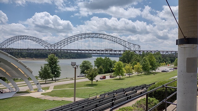
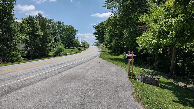
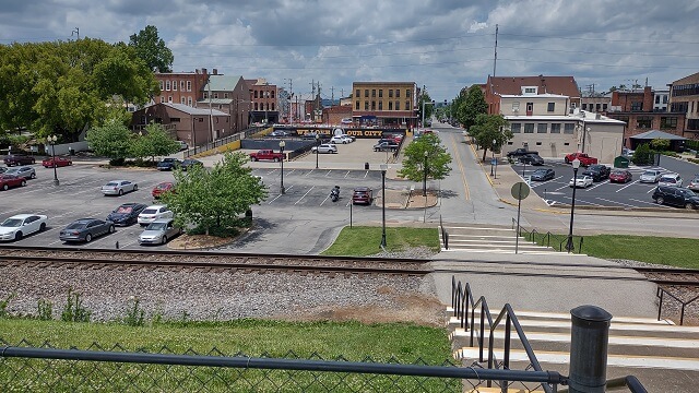
I found a parking lot, which happened to be next to a big bridge and an amphitheater. I decided to get a picture of the amphitheater, which involved climbing a ton of steps to get up to the top. I was starting to feel a bit of a time pressure on the day, so I tried not to dawdle as I went up and took some pictures.
Back down in the parking lot I checked my phone for a route through town that would keep me on the ORSB. I'm not sure why I didn't notice this before in the planning stages of my trip, but the ORSB in New Albany tends to be broken up in chunks. There were a couple parts that weren't connected to the rest of the ORSB on either side.
I thought about just mapping a route through town, but then I decided to hop on the interstate and ride the bypass around the city, then pick up the ORSB on the east side. That would save me a little time, especially if I wound up getting lost. I made my way back to the interstate and rode about 8 miles around the city, then got off on highway 62.
I was getting low on fuel. I used the GPS to see what fuel options existed further up the route. It looked like there were some gas stations up ahead in the town of Hanover, so I was planning on a stop there. About five miles before I got to Hanover, however, I came across a gas station. I figured a known gas station in front of me is worth more than two potential gas stations up ahead, so I pulled in.
The lot was gravel. Rather poorly maintained gravel. I filled up the tank, and then walked up to the store to use the bathroom. That's when I noticed the sign that said, "No public bathrooms." Hmmm… had I known that I probably wouldn't have stopped.
My need for the restroom wasn't dire, so I got back on the bike and continued. When I reached the town of Hanover I saw the gas stations where I would have stopped had I not already filled my tank. They looked like they would have been better options than what I'd picked. Well, I gambled and lost on that one.
Throughout the entire ORSB, there was lots of road construction. Frequently the road was reduced to a single lane, with a flagman controlling traffic. In today's PC world I'm no longer sure what the proper term is for "flagman". "Flag-person"? "People with flags"? I dunno.
Also along the ORSB throughout Indian and Ohio, there were lots of crews out trimming the trees along the sides of the highway. In addition to having to keep a watchful eye for the workers and their trucks, it also meant there were lots of leaves and small sticks strewn about the road. One had to be diligent about the debris, especially around the curves.
Near the town of Vevay (how do these places get named?) there was a sign that informed me that the road was closed 18 miles ahead, only local traffic allowed, and to follow the detour signs. I thought for a moment about risking it and just continuing on my original route, but then decided that 18 miles is quite a distance to backtrack if rode that far and then discovered the road really was impassable. I vaguely remembered Google Maps fighting me around this area when I was creating my route file, so this must have been the reason. So I made the decision to follow the detour.
The detour took me off the ORSB for about 20 miles. It seemed like longer. In reality, the detour was actually a little shorter path than had I stayed on the ORSB. Thankfully the detour road was fairly scenic, so at least I didn't have to ride through flat stretches of corn fields.
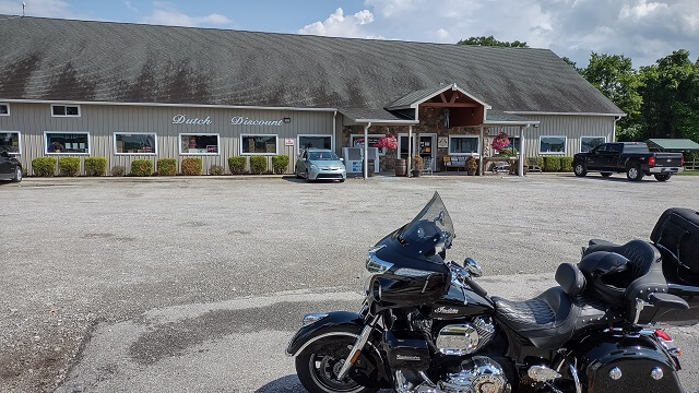
About halfway through the detour I came across a little country store, and decided it would be a good time to pull over for a stretch break. I never did go into the store, just parked on the far end of the lot to leave the "good" spots for the patrons. I checked my phone and did some correspondence. My brother was having a new concrete driveway poured, so he texted me a picture of all of his cars he parked in my driveway while his driveway was getting repaved.
While I was stretching, I noticed the clouds up ahead looked a little dark. It smelled like rain. There were occasional flashes of lightning. I hoped I wasn't in for another monsoon.
A few miles down the road I started riding through sprinkles, and the pavement was pretty wet. It stayed that way for about 10 miles until I got back to the ORSB: light rain with very wet pavement. I never did bother to put on my rain gear. I think I was just following the tail end of a storm. My rest stop may have delayed me just enough to miss the bulk of the weather.
I reached the end of my 2nd GPS route file, and loaded the third file of the day. This one was easily the most "buggy" of the three. The GPS was constantly telling me to take these little one block detours down alleys, rail yards, parking lots, etc. I could see from the map that these detours were only a couple blocks long, and then returned me to the same road I was riding on. I opted to just ignore them the best I could and ride by instinct.
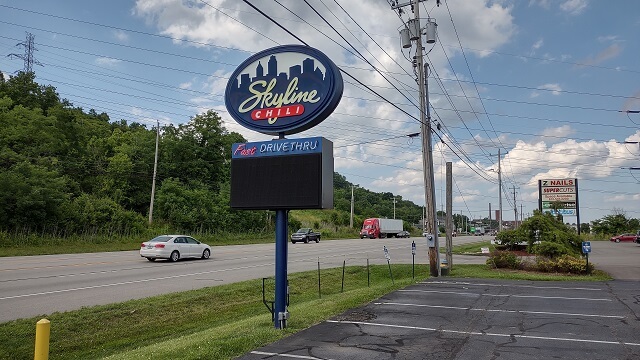
Around rush hour at 5 PM, I was approaching the Cincinnati metro area. I was still on the Indiana side of the border in Lawrenceburg, but I could tell traffic was picking up. I was also getting pretty hungry, having not eaten anything since breakfast. I decided to stop for an early supper, and hopefully let traffic settle down while I ate.
Looking for interesting food options, I passed a Frisch's Big Boy. If the Tundra Girl was with me, that's where we would have stopped to eat as it's one of her favorite restaurants. Then I came across Skyline Chili, which is a regional chain. I like eating at Skyline whenever I visit my in-laws in Dayton, OH, which is about 50 miles from where I currently was located. I pulled in and parked.
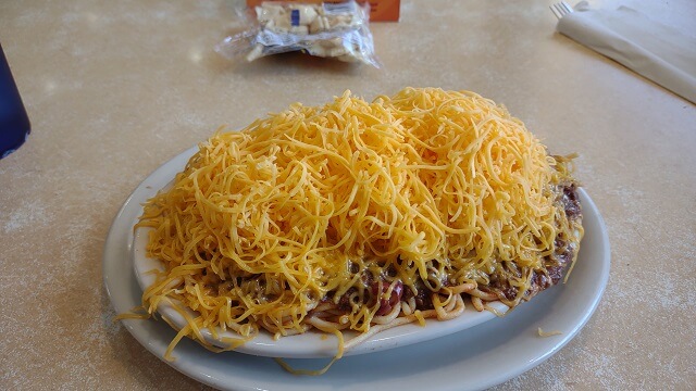
Having mostly grown up in Sioux Falls, SD, I had never ever heard of serving chili on top of spaghetti noodles. Having grown up in Dayton, OH, my wife had never heard of eating chili without spaghetti noodles. Shortly after we got married I made chili one night for supper. She cooked up some pasta and poured her chili on top. Our cultures collided, both of us wondering what kind of backwoods upbringing to which the other had been subject.
A few years later I discovered that there's actually a term for chili on top of spaghetti: "Cincinnati Chili." Different areas of the country are known for their local specialty cuisine. Kansas City has BBQ. Philadelphia has cheese steaks. Boston has clam chowder. South Dakota has chislic. And Cincinnati has chili. Who would have thunk?
Anyway, I went in and sat down and ordered. Having been there before I knew exactly what I wanted: Regular size five-way chili. Their normal chili is three-way, which means it's chili, spaghetti and cheese. When you get it five-way they add beans and onions.
It arrived and I scarfed it down. One thing about Skyline is they don't skimp on the cheese.
I didn't linger, as I didn't want to be riding too late into the evening. My total stop time was 34 minutes and I was back on the road before 6 PM.
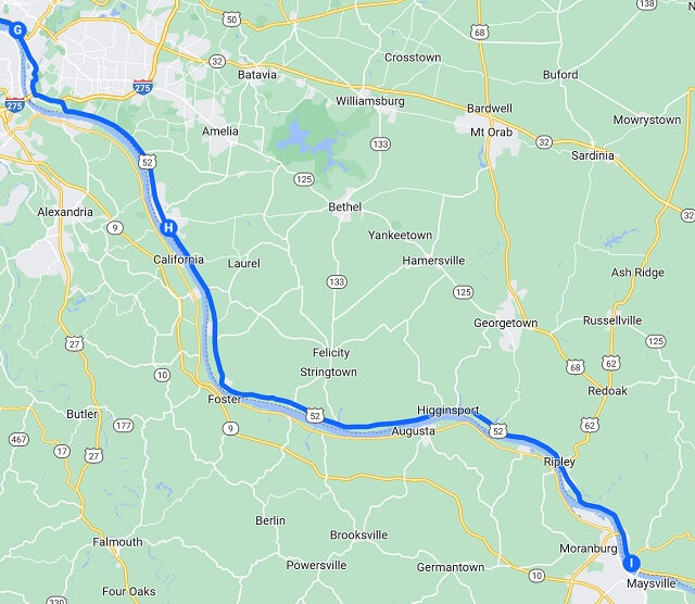
I crossed over the border into Ohio. This adds another new state to my motorcycle list. Once again I wanted to get a picture of the "Welcome to Ohio" sign, but there was no shoulder and lots of traffic behind me. So I guess you'll just have to take my word for it.
Shortly across the border, I accidentally bit on one of those bogus Garmin GPS detours. The directions told me to turn left, so I did. I determined the GPS was freaking out again when a few blocks down the street it tried to route me into a fenced off area of a manufacturing plant. My frustration with this Garmin unit was growing. I found my way back to the main road, which required an extremely long wait at a traffic light that didn't want to change.
River Road between the border and downtown Cincinnati was in pretty rough shape. And I mean that literally, not figuratively. I was trying to stay in the right lane because I wasn't completely sure where I was going and was moving slower than the other traffic. Unfortunately the right lane was riddled with potholes. It also had many large metal plates laying on the road, which I assume were covering up some of the larger craters in the pavement. Thankfully it wasn't raining at this time, as I can only imagine those metal plates get slick as glass when they're wet.
On my original route plan, I intended to ride by the south side of Reds and Bengals stadiums and get a picture. The ORSB runs right by the stadiums and I figured it would be cool to get photos. Especially since the Reds and the Bengals are the Tundra Girls favorite baseball and football teams.
Unfortunately, once again the GPS ignored the route I had programmed and directed me onto the freeway. Not being sure exactly where I was going, I just followed the directions unaware it was taking me down the wrong road. Before I knew it, I was riding a ziggurat of ramps in very heavy rush hour traffic. I saw the Reds stadium go by to my right. I never did see the Bengals stadium. I was too busy trying not to die.
A couple miles down the road the GPS told me to get off the freeway, which I was more than glad to do. I found myself going down an extremely steep road which ended with a sharp curve and a stop sign. When I came to a stop I was still on the extreme incline, and almost dropped the motorcycle. That didn't make me happy. I audibly chewed out the GPS unit, which I'm pretty sure if anyone saw this happen marked me as a crazy person.
I needed to turn left, but was barely holding the bike up on my right side. With the hill trying to force the motorcycle to the ground, I decided there was no way I was going to make a left turn at this point, so I turned right. Once I got everything balanced and I calmed down a little, I then turned around and started going the correct direction.
I noticed my mood was souring. This is usually a sign that I need to get off the bike for the day. Unfortunately, I still had 60 miles to go until my motel. I did my best to keep my mood in check.
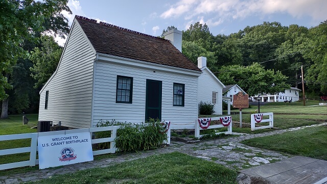
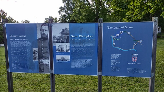
One unexpected thing was I passed by the birthplace of Ulysses S Grant. I didn't realize this was right on the ORSB. Coincidentally, in two days I would be going right by Grant's adulthood home.
I decided to make a brief stop to get a picture. After parking the bike I noticed I was getting too stiff and tired to raise my leg over the bike without dragging it across the paint. That's not good on a couple of levels.
A few miles down the road I saw my second nuclear power plant. Little did I know that I would see many more the following day.
The deer started coming out. I saw several in the ditch alongside the road. I was less worried about the deer I saw, and more worried about how many I wasn't seeing. This is the main reason I don't like riding in the evenings. A few weeks later an acquaintance of mine would hit a deer and sustain serious injuries on his motorcycle. The tendency of deer to suddenly dart out into traffic means you have to ride extremely vigilant, which was getting difficult to do in my exhausted state.
I was getting close to the town of Aberdeen where my motel was located. On the map Aberdeen appeared to be small, so I wasn't sure about the availability of gas. About six miles from Aberdeen I came across a gas station and decided to go ahead and top off the tank now.
I got the gas cap off and inserted my credit card when I looked down and realized they didn't have premium fuel. My old Yamaha Road Star was happy with the cheapest gas I could find. My Indian, however, requires premium fuel. I canceled the transaction and put the gas cap back on, then took off down the road in search of another station.
When I reached the town of Aberdeen there was a gas station on the west edge. The store itself looked closed, but the pumps were turned on and they had premium fuel available. I make a quick stop to fill the tank, then rode another few minutes down the road to the motel.
At 8:15 PM I pulled into the motel.
While checking in, the lady behind the window was making it very clear about the rules involving guests of guests. I quickly surmised she was talking about prostitutes. I assured her that no "guest" would be visiting me tonight, but she continued with her spiel. Apparently I looked like someone who was going to solicit a hooker.
My motel room was around the corner from the office. My bike was parked in front of the office. I was too tired and lazy to move the bike, so I just left it in front of the office and carried my bags to the room.
The room was clean. It wasn't anything fancy but I didn't need anything fancy. I just needed somewhere quiet and not moving.
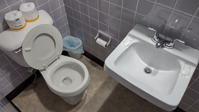
In the bathroom, I noticed that the toilet was right in front of the sink. To use the toilet you had to scootch between the wall and the sink. When you sat down, the sink was in front of you like a desk. I found it humorous, so I snapped a picture. The photo doesn't do it justice for how close the sink and toilet were to each other.
I still had some flavored water left from my Aldi stop two nights before in Columbia, MO. However, they were pretty warm from riding in my saddlebag all day. I went in search for the ice machine. The guy in the room next to me was sitting and smoking outside his door, and he directed me to where it was.
Back in my room I enjoyed some cool water. I was kind of wishing I had a snack, but was too tired to go get anything. I had no plans to get back on the motorcycle before morning unless the motel burned down.
My neighbor sat outside and smoked and talked on the phone a good portion of the night. The next morning he would be up early doing the same thing. There was lots of door banging happening from other guests. Or maybe it was from the "guests of guests."
After showering off, I called home. Then I spent some time reviewing the music for Friday night. I didn't have an instrument with me to use to practice, but I went through each song and meditated on the note progressions. It was a surprisingly productive review session considering I didn't have a bass in my hands.
I noticed that once again I had a pretty bad sunburn on my inner arms. It seems this has happened to me the last few trips, even though I try to be diligent about putting sunscreen on those spots. It was mildly painful, but nothing compared to how my butt and shoulder were feeling.
My body was still on CST, so I had a hard time falling asleep. But eventually I did.
Return To The Main Motorcycle Gallery
This page last updated on 08/28/2023