


The last day of a motorcycle trip is usually a sad affair caused by a combination of my trip coming to an end, being dog tired from the miles and the fact that because of the proximity of where I live, the last day riding home is never very interesting.
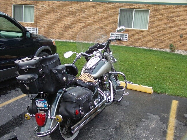
I got up about 6:30. The hotel office at the Thunder Cove Inn didn't open until closer to 8, which means I couldn't check out before that time. So I was going to follow my typical routine and ride down for the breakfast buffet at the Tin Lizzie casino. I prepared myself, then packed up my bike.
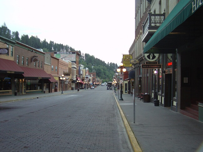
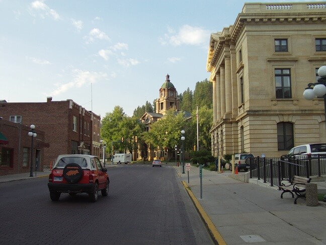
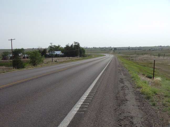
As I rolled through downtown Deadwood it was pretty quiet at 7 AM.
I filled myself up pretty good at the buffet. I was dismayed to notice that they'd raised the price. It was now $3.99. It used to be $2.99 and I used to be able to get a coupon that dropped it to $1.99. Oh well, such is the effects of inflation. I knew I wouldn't be anywhere at lunch time where I would have convenient access to food, so I compensated by eating my lunch at the same time.
After breakfast I headed back to the hotel to check out, and then hit the road for home. It was a beautiful morning.
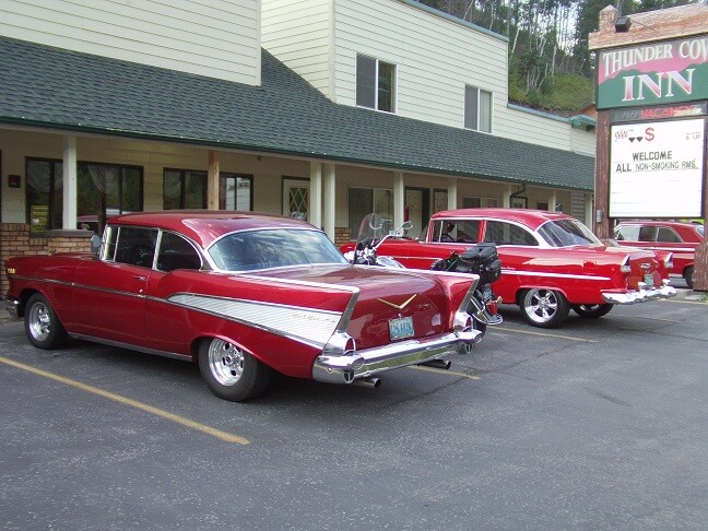
Back at the hotel I saw a beautiful sight parked outside the office door. There were both a '55 Chevy and a '57 Chevy. You don't see those every day, let alone parked next to each other and completely mint. There was a car show in the Black Hills on this weekend, and I strongly suspect these cars were part of it.
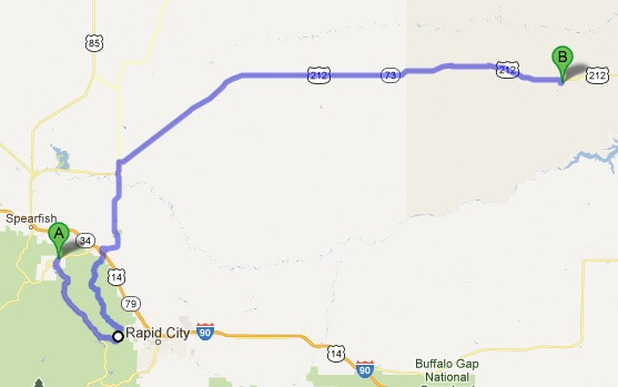
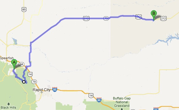
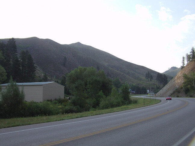
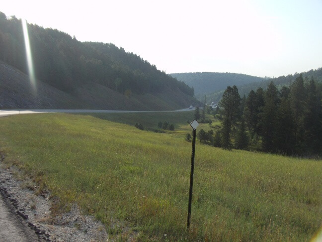
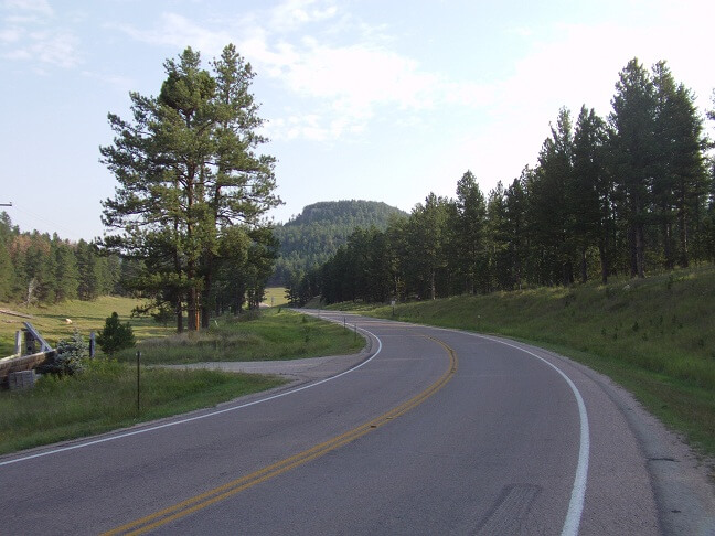
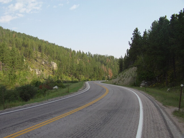
After checking out I hit the road. I was planning on taking a back road into Rapid City, then taking another back road into Sturgis. As it turns out, I modified my route slightly by taking a side road connecting the two original roads, but removing my need to ride all the way into Rapid City. I was growing physically tired of riding and I knew I had a long day in front of me, so I decided to take the shortcut. Here are the maps of the day, starting with my original plan and then the modified route. You can see that they're really not that different.
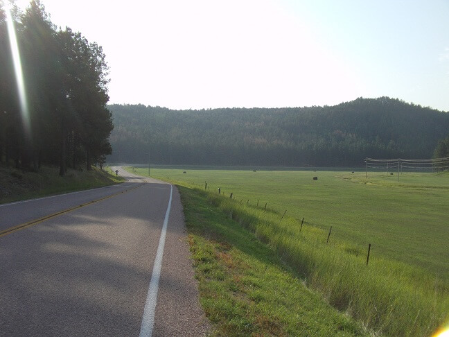
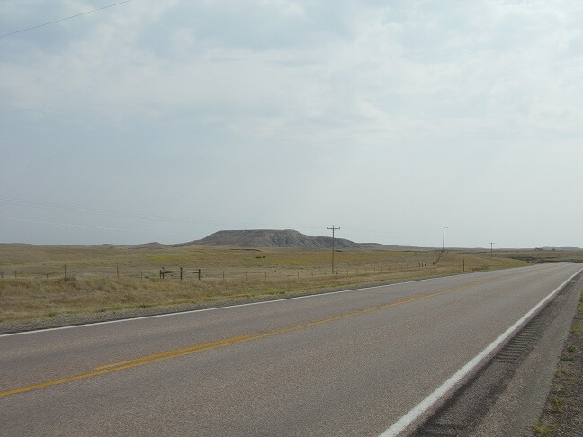
I had never been on this back road before. It was pretty and worth riding. I tooled along and snapped photos.
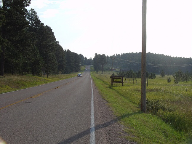
After putting along for a little more than an hour, I approached the town of Sturgis. This was going to be my last taste of humanity for a while.
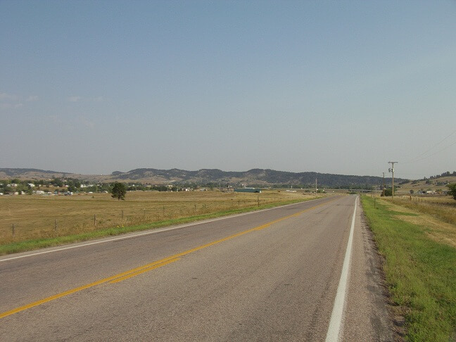
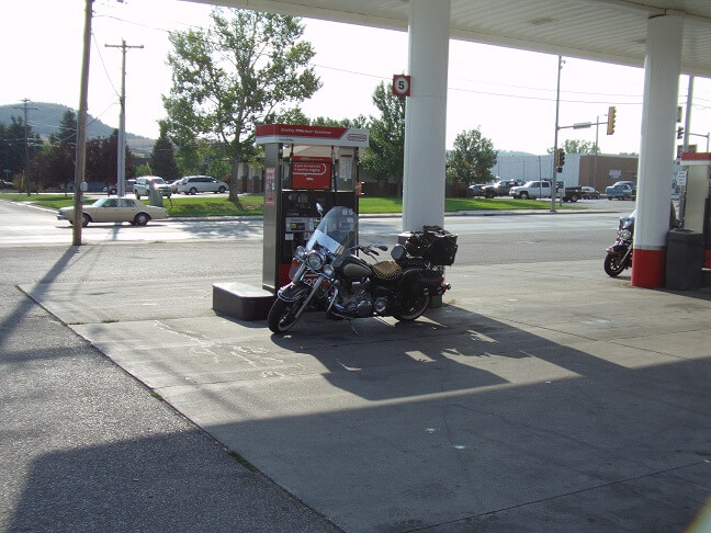
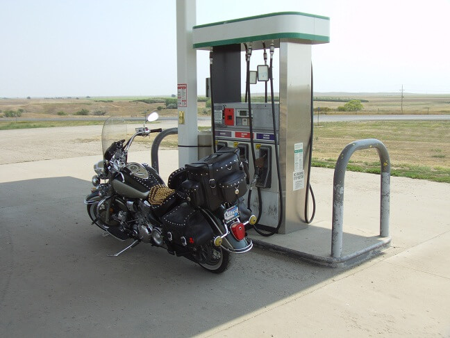
I stopped for gas and a root beer. My route was to take me north up to highway 212 and then across the state. I had never been that far into the northwestern part of the state before (never had a good reason) so this was going to be new. Knowing South Dakota, I was expecting a lot of barren nothingness. With my tank full and my bladder empty, I figured on a little more than 200 miles to get me to the east side of the river where I could gas up in the town of Gettysburg.
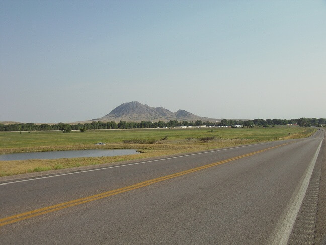
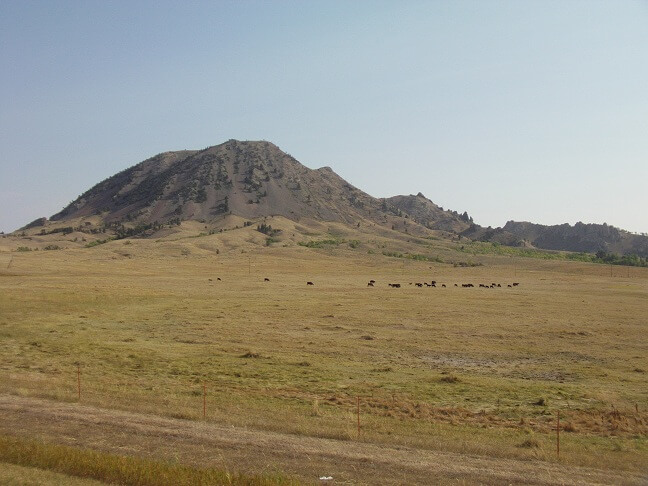
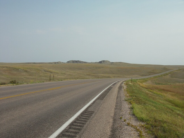
A little bit east of Sturgis I turned north on highway 79. This went by Bear Butte state park, which was pretty cool. It's basically a big mountain isolated all by itself on the plains.
The Black Hills were becoming nothing but shadows in the distance.
The highway merged with 212, headed north for a few miles into Newell, then headed east. Newell was a quiet little community and I wondered what it would be like to live so isolated from anyone else. Newell would become my last glimpse of humanity for a few hours. In fact, on the edge of town there was a sign warning travellers that there were to be no services available for 115 miles.
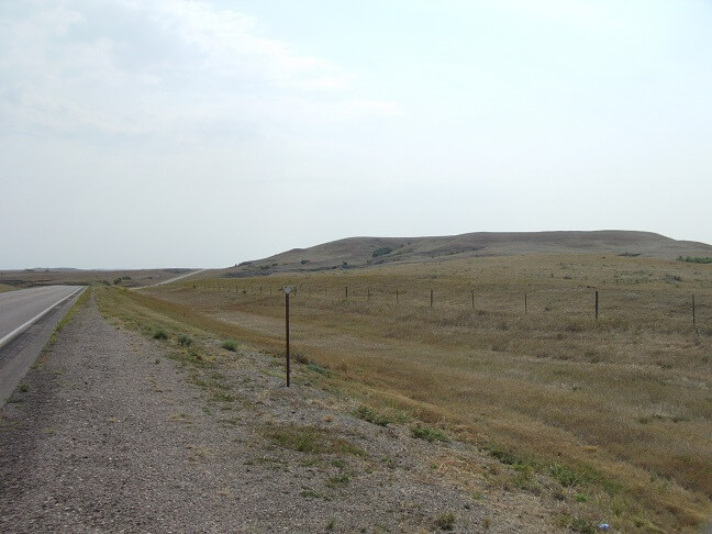
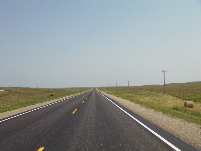
And that sign wasn't lying. I rode into the vast wilderness. Normally the term "wilderness" conveys an image of dense trees. In this case, however, wilderness was wide open nothingness.
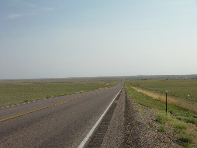
There wasn't much out on this side of the state. Most of the land was being used for ranching, if used at all. However given the vast size of the area, no farm houses were to be seen. It was desolate, but beautiful in its own peculiar way. I would see another vehicle perhaps every 10 or 15 miles. Most of them were semi-trucks cutting across the state.
I noticed the trees were sparse. When I saw one I decided to see how far I could ride before I saw another. I rode a long time without a sighting. I then lowered my criteria to include small bushes as trees. I still rode a long time without seeing any. After about 40 miles I finally spotted some in the distance.
The day was warming, and the wind had really picked up which isn't an unusual phenomena in South Dakota. Actually a calm day is a more unusual event. Unfortunately, the wind was coming directly at me which I later figured out would be a cause of stress, but more on that in a minute.
I entered the Cheyenne River Reservation. Nothing really changed from a scenery perspective.
Finally, 115 miles after I left Newell, I reached the town of Eagle Butte. Eagle Butte wasn't large, but in comparison to what I had just ridden through it seemed like a screaming metropolis. I passed a gas station and considered stopping to fill up, but I only had 140 miles on this tank and I can normally ride 225 miles if I'm holding my speed at 65 mph. I decided to press on with my original plan of waiting until Gettysburg for fuel.
However, a little wrench in my plan appeared. About 15 miles east of Eagle Butte my gas light came on. This means I have approximately a gallon and a half of gas left, maybe a little more if I really pushed it. The headwind had unexpectedly reduced my mileage when I did my original calculations to gas up in Gettysburg. For a brief moment I considered turning around riding the 15 miles back to Eagle Butte to fill up. However that would add extra time on my trip that I really wasn't planning or wanting. Looking at my map there appeared to be a couple little towns between where I was and the Missouri river. So I opted to press on and fill up at one of those towns.
That was the new plan. Unfortunately there was a wrench in that new plan as well. When I arrived on the first town on my map the "town" of Ridgeview turned out to be four or five battered trailer houses sitting on a ridge. No way to get a soda let alone gas.
So I pressed on. I was starting to get a little nervous at this point, but I had one more town on my map. Surely that town had a gas station, right?
Wrong. When I arrived at La Plant, SD I found more battered trailer houses, and a school building that looked like it had been abandoned for the summer, if not eternity.
I started to get the feeling I was in deep trouble. It's bad enough running out of gas when there are towns every 10 miles or so. At this point I no longer had fuel to turn around and go back to Eagle Butte, nor did I have enough to make it to Gettysburg. By this time I had run my main tank dry and had switched over to reserve.
Running out of gas on the reservation is not something I would recommend doing. Now, without sounding racist, I have to state a fact: the poverty on the U.S. Indian reservations is probably the worst you will find in our country, bar none. And an unfortunately reality is when poverty becomes rampant, crime skyrockets. I have no animosity toward the residents of the Cheyenne River Reservation. I'm sure there are some outstanding people who live there. However, I was also reasonably certain that if I ran out of gas and left my motorcycle on the side of the highway while I tried to find fuel, it would be the last I see of the bike, not to mention my luggage, tools and everything else I had along with me. My personal safety was another unknown, but I was less concerned for that simply because I felt the odds were lower that I would be assaulted.
So now I found myself in a predicament. I estimated I had roughly half a gallon of gas remaining, and about 40 miles until Gettysburg which was the only place I was certain to get fuel. My bike can usually get around 50 mpg if I'm not pushing the speed and the wind. The wind was still coming straight at me, so I adjusted the only variable I had left: my speed.
I dropped my speed down to about 45 mph, which is about where my fuel efficiency peaks. This had the added benefit of reducing the amount of head wind I would have to buck. To decrease my wind resistance even further, I tucked my body down behind my windshield. Then I just focused on adjusting the throttle as gradually as possible on hills, and praying. Serious prayer. I was really feeling that "oh crap, something bad is happening" sensation that wells up from deep inside of you.
The occasional car would pass me. I kept hoping one would be a truck of some sort with a visible gas can sitting in the bed, but alas I saw none. At that point I would have paid someone $20 for a single gallon of gas.
I putted along wondering when I would start to hear the sputtering sound of an engine starving for fuel. I was playing out different scenarios in my head of what I would do when I ran out of gas. Would I stay with the bike? How long would I sit there until someone came along and stopped? Who would I call in the middle of nowhere? Would I set out on foot to find gas? Which direction would I head and where would I find some? Houses were still scarce but I was trying to keep my eye out for some should I need to walk.
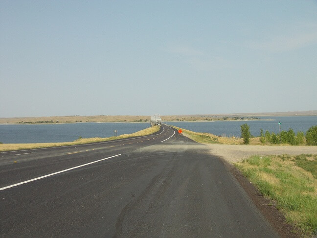
As I came over a hill, I could see the Missouri river in the distance. This became my new goal. I was hoping there was a boat access point for the river, as sometimes there's also a gas station adjacent to it so the boat owners can fill up their craft.
At minimum, I reasoned, crossing the river would get me off the reservation. While a couple miles may not have actually made a difference, mentally it gave me a glimmer of hope on which to grasp. It may very well have been false hope, but hope is hope when you're desperate.
The river drew closer, and I thought I felt my engine stumble a bit. Fear was rushing through my body. I reduced my speed even more, and started pulling in the clutch and coasting down hills to try and eek out every last drop of gas.
After what seemed an eternity, I reached the river. Unfortunately there was no filling station on the west side. I crossed the river hoping there would be one on the other side, but there wasn't. At this point the engine was definitely sputtering. I tried leaning the bike to the left as much as I could to get any fuel in the tank over on the petcock side.
I had given up all hope by now and had resolved myself to the fact that I would be pulling over soon with a dead bike. I decided to at least see how close to Gettysburg I could get to reduce my walk.
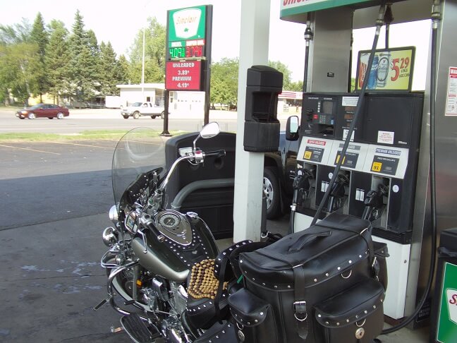
And then it happened: I came over a hill and discovered the bait shop I had been looking for, with fuel pumps out front. I know it's cliché to say I coasted in on fumes, but in this case I honestly did coast in on fumes.
I pulled up to a pump and filled the tank. My tank is rated to hold 5 gallons. I put 5.152 gallons into it, which tells me even the fuel line, filter and float bowl were empty. A wave of relief came over me, along with a wave of exhaustion. The adrenaline rush had subsided, and what was left was the deep weariness that stressful situations can cause. I went in the shop and used the restroom. Then I re-applied my sunscreen and took a few minutes to contemplate the "what ifs." I also took some ibuprofen because the stress of the morning had given me a monster headache.
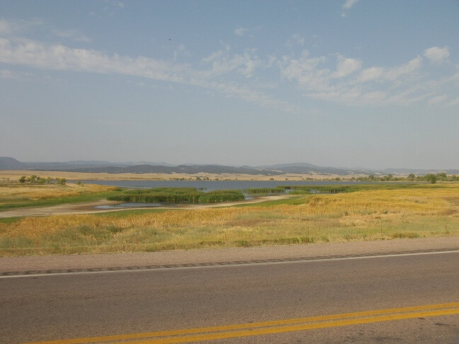
Back on the road, I realized that due to my circumstance I hadn't taken a picture of the Missouri river. I decided to add a couple extra miles to the trip by doubling back to snap a picture. There wouldn't be much else to see the rest of the day, so I had to seize the opportunities when they presented themselves.
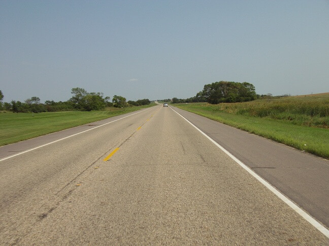
There's not much to say about the next few hours of riding. Eastern South Dakota isn't much better for scenery than the west side. There is more farms and less ranch land, but there's not much to hold one's interest.
It seemed the stretch between the river and Watertown, SD was a lot longer in real life than it appeared on a map. I was extremely tired, achy, bored and because I didn't stop anywhere for lunch (not that there was anywhere available) now that it was in the late afternoon I was getting hungry.
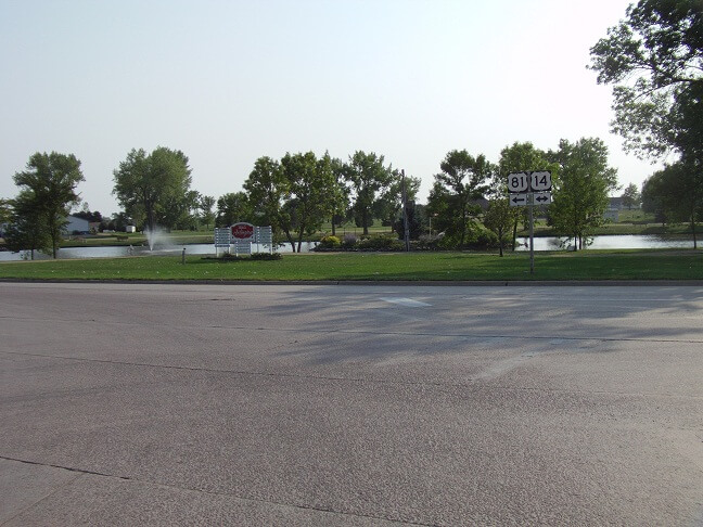
The miles slowly ticked by and finally at about 4:20 PM I found myself in Watertown, SD. I needed a fuel and stretch break so I pulled into a gas station on the corner of 212 and highway 81, on which I would be heading south.
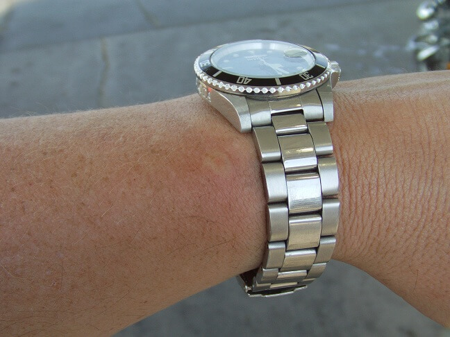
I got off the bike and proceeded to fill it with gas. I noticed quite a few wasps hovering in the area. I had no sooner made this observation when BAM! It felt like someone had just driven a spike into my left wrist. A wasp got me. I must have seemed like a threat. I backed off from the area and tried to regain my composure. I came really close to spewing a bunch of choice words, but managed to hold my tongue. A lady filling up her car probably did wonder why I was doing a Yosemite Sam impersonation, though.
I snapped a picture of my wrist. The photo really doesn't do the sting justice, as about an hour later my whole wrist swelled up to the point where I had to remove my watch. It hurt like a bugger too for several days, and then itched for more than two weeks.
Not wanting to get stung a second time I ran back to the bike as fast as I could and put the gas filler nozzle back on the pump. I then quick rode around to the side of the convenience store and went inside. I needed a few minutes of rest and air conditioning, along with a snack. I bought a corn dog, some chips and a soda and relaxed in a booth.
The girl running the counter asked me, "if I was in a motorcycle gang." I found this amusing as I'm probably the least "motorcycle gang" type person on the planet.
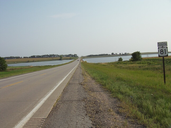
It was time to hit the road again. I really was wishing the trip was over, but had another couple hours before I would be home. I headed south on highway 81. Traffic was a little busier, being about 5 PM, but not too bad.
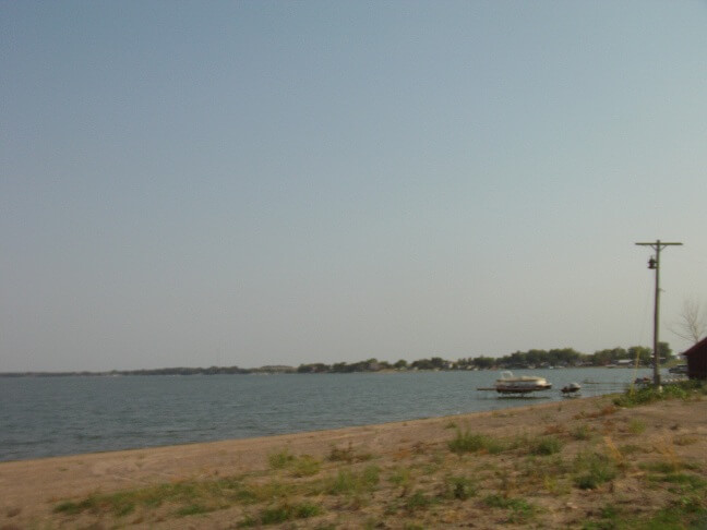
About 20 miles south of Watertown I passed Lake Poinsett. I have a lot of memories of this lake from when I was growing up. My uncle owned a cabin on the north shore nad our family would come up during the summer for a few days every year. We would have a blast. Sadly, my uncle passed away in 2000, however my cousins still own the cabin and we still try to make it up there for a weekend during the summers. I had been at the cabin less than a month prior and had one of the most enjoyable weekends of my life, so the memory was still fresh when I snapped this picture.
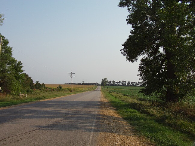
Continuing south, my plan was to follow highway 81 down to Madison, SD. Before I would reach Madison, though, I had to pass through Arlington.
Just north of Madison there are some interesting spots where the highway runs through the middle of some small lakes.
At the town of Madison, I headed east. I was getting close to home now. I crossed interstate 29 and rode a few miles until I came to highway 115. There I headed south. Only about 25 miles to go.
Finally, I hit the northern border of Sioux Falls. It had been a long day and I was glad to finally be home. My body was in pain, and my wrist was getting huge from the wasp sting. My corn dog had worn off and I was hungry. I wasn't sure what was at home to eat, so I stopped and picked up a Jimmy Johns sub to enjoy in the comfort of my own easy chair.
Another trip was in the books. At the time I was glad it was over, but that feeling never lasts. About a week later I'm always starting to think about where to go on the next year's trip.
Return To The Main Motorcycle Gallery
This page last updated on 06/28/2018